Houlton night lights from space
Night Light of Houlton (Maine) from space (United States) Src. Average luminocity for 10x10km area is 6.3679% and for 50x50km: 0.6988%.
Analysis of Houlton night lights 2016
Square area 10x10 km:
 0.28%
0.28%90-99
1.14%80-89
0.28%70-79
0.57%60-69
1.14%50-59
1.7%40-49
1.7%30-39
1.56%20-29
1.28%10-19
0%0-9
90.34%Square area 50x50 km:
0.01%90-99
0.12%80-89
0.03%70-79
0.08%60-69
0.11%50-59
0.17%40-49
0.17%30-39
0.22%20-29
0.12%10-19
0.12%0-9
98.84%Clear (daylight) street map image can be seen on geolist.org.
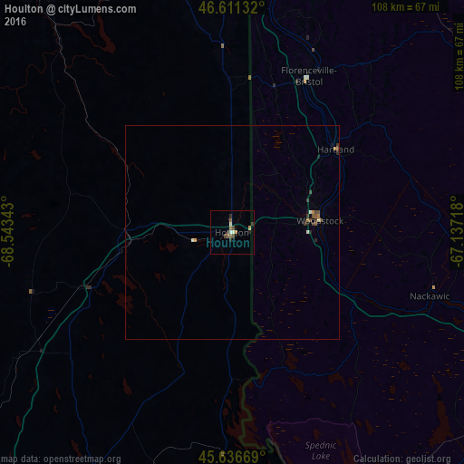
Map coordinates:
46° 36' 40.8" North, 68° 32' 36.3" West
46° 7' 34.2" North, 67° 50' 25.1" West
45° 38' 12.1" North, 67° 8' 13.8" West
Some cities around Houlton sort by population:
• Fredericton, CA
92.9 km =57.7 mi,  102°
102°
• Edmundston, CA
143.5 km =89.2 mi,  345°
345°
• Orono
152.7 km =94.9 mi,  205°
205°
• Brewer
164.3 km =102.1 mi, 205°
• Presque Isle
63.2 km =39.3 mi, 347°
• Oromocto, CA
110 km =68.4 mi,  107°
107°
• Caribou
82.7 km =51.4 mi, 350°
• Old Town
146.6 km =91.1 mi, 205°
4967563 (p: 5,002)
Sources (retrieved 2019-11-25):
» Earth at Night: Flat Maps 2012, 2016