Rivière-du-Loup night lights from space
Night Light of Rivière-du-Loup (Quebec) from space (Canada) Src. Average luminocity for 10x10km area is 31.0967% and for 50x50km: 1.7539%.
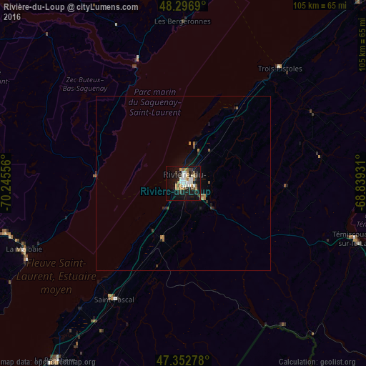
Analysis of Rivière-du-Loup night lights 2016
Square area 10x10 km:
 4.02%
4.02%90-99
8.04%80-89
1.34%70-79
4.46%60-69
4.91%50-59
3.42%40-49
2.98%30-39
3.13%20-29
5.95%10-19
34.38%0-9
27.38%Square area 50x50 km:
0.15%90-99
0.31%80-89
0.07%70-79
0.25%60-69
0.34%50-59
0.24%40-49
0.17%30-39
0.19%20-29
0.4%10-19
1.74%0-9
96.13%Clear (daylight) street map image can be seen on geolist.org.
Map coordinates:
48° 17' 48.8" North, 70° 14' 44" West
47° 49' 37.2" North, 69° 32' 32.7" West
47° 21' 10" North, 68° 50' 21.5" West
Some cities around Rivière-du-Loup sort by population:
• Saguenay
130.7 km =81.2 mi,  300°
300°
• Jonquière
142.6 km =88.6 mi, 297°
• Rimouski
102.4 km =63.6 mi,  47°
47°
• Edmundston
104.3 km =64.8 mi,  118°
118°
• Montmagny
121.1 km =75.2 mi,  218°
218°
• La Malbaie
49.5 km =30.8 mi,  247°
247°
• Baie-Saint-Paul
83.5 km =51.9 mi,  239°
239°
• Mont-Joli
130.7 km =81.2 mi, 49°
6354897 (p: 18,586)
Sources (retrieved 2019-11-25):
» Earth at Night: Flat Maps 2012, 2016