Fredericton night lights from space
Night Light of Fredericton (New Brunswick) from space (Canada) Src. Average luminocity for 10x10km area is 45.6815% and for 50x50km: 3.5937%.
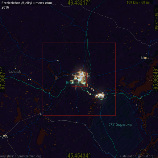
Analysis of Fredericton night lights 2016
Square area 10x10 km:
 6.85%
6.85%90-99
7.14%80-89
5.36%70-79
6.25%60-69
6.85%50-59
8.93%40-49
8.63%30-39
6.99%20-29
13.99%10-19
22.77%0-9
6.25%Square area 50x50 km:
0.36%90-99
0.54%80-89
0.32%70-79
0.36%60-69
0.54%50-59
0.51%40-49
0.65%30-39
0.57%20-29
0.87%10-19
2.95%0-9
92.33%Clear (daylight) street map image can be seen on geolist.org.
Map coordinates:
46° 25' 55.8" North, 67° 22' 7.4" West
45° 56' 43.5" North, 66° 39' 56.1" West
45° 27' 15.6" North, 65° 57' 44.9" West
Some cities around Fredericton sort by population:
• Moncton
145.3 km =90.3 mi,  83°
83°
• Saint John
88.1 km =54.7 mi,  148°
148°
• Lutes Mountain
137.5 km =85.4 mi, 81°
• Presque Isle, US
132.1 km =82.1 mi,  308°
308°
• Oromocto
18.9 km =11.7 mi,  130°
130°
• Caribou, US
145 km =90.1 mi, 314°
• Sussex
93.1 km =57.8 mi,  105°
105°
• Houlton, US
92.9 km =57.7 mi,  282°
282°
5957776 (p: 52,337)
Sources (retrieved 2019-11-25):
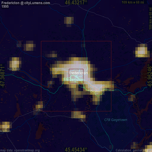
» NASA, Earths city lights 1995
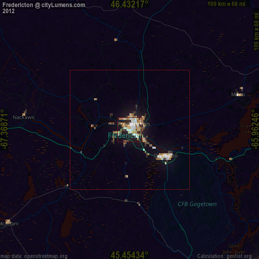
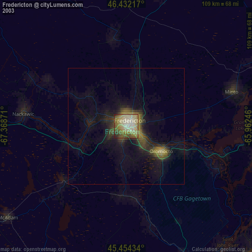
» NASA city lights 2003
» Earth at Night: Flat Maps 2012, 2016