Campbellton night lights from space
Night Light of Campbellton (New Brunswick) from space (Canada) Src. Average luminocity for 10x10km area is 16.027% and for 50x50km: 0.9005%.
Analysis of Campbellton night lights 2016
Square area 10x10 km:
 2.27%
2.27%90-99
2.98%80-89
1.14%70-79
1.14%60-69
2.27%50-59
3.55%40-49
3.27%30-39
0.99%20-29
0%10-19
7.24%0-9
75.14%Square area 50x50 km:
0.09%90-99
0.12%80-89
0.07%70-79
0.09%60-69
0.14%50-59
0.17%40-49
0.18%30-39
0.14%20-29
0.1%10-19
0.36%0-9
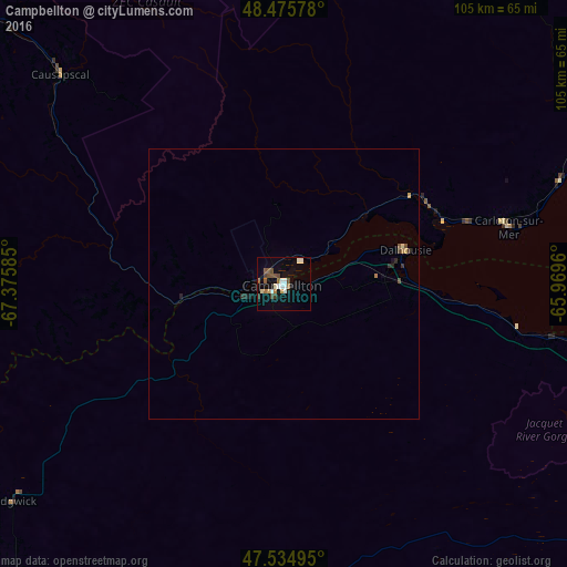
98.54%Clear (daylight) street map image can be seen on geolist.org.
Map coordinates:
48° 28' 32.8" North, 67° 22' 33.1" West
48° 0' 27" North, 66° 40' 21.8" West
47° 32' 5.8" North, 65° 58' 10.6" West
Some cities around Campbellton sort by population:
• Rimouski
145.6 km =90.5 mi,  289°
289°
• Miramichi
139.9 km =86.9 mi,  141°
141°
• Edmundston
142.3 km =88.4 mi,  240°
240°
• Matane
110.7 km =68.8 mi,  325°
325°
• Bathurst
87.7 km =54.5 mi,  119°
119°
• Mont-Joli
129.4 km =80.4 mi,  299°
299°
• Amqui
75.7 km =47 mi,  312°
312°
• Sainte-Anne-des-Monts
124.9 km =77.6 mi,  6°
6°
6696258 (p: 7,384)
Sources (retrieved 2019-11-25):
» Earth at Night: Flat Maps 2012, 2016