Caribou night lights from space
Night Light of Caribou (Maine) from space (United States) Src. Average luminocity for 10x10km area is 6.2813% and for 50x50km: 1.6044%.
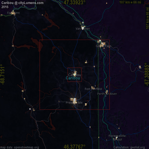
Analysis of Caribou night lights 2016
Square area 10x10 km:
 0.45%
0.45%90-99
0.3%80-89
0.45%70-79
2.23%60-69
0.6%50-59
1.93%40-49
0%30-39
1.04%20-29
2.53%10-19
0%0-9
90.48%Square area 50x50 km:
0.08%90-99
0.27%80-89
0.12%70-79
0.2%60-69
0.21%50-59
0.4%40-49
0.35%30-39
0.27%20-29
0.25%10-19
0.25%0-9
97.59%Clear (daylight) street map image can be seen on geolist.org.
Map coordinates:
47° 20' 21.2" North, 68° 42' 54.4" West
46° 51' 38.2" North, 68° 0' 43.1" West
46° 22' 39.6" North, 67° 18' 31.9" West
Some cities around Caribou sort by population:
• Fredericton, CA
145 km =90.1 mi,  134°
134°
• Rimouski, CA
180.7 km =112.3 mi,  347°
347°
• Rivière-du-Loup, CA
157.6 km =97.9 mi,  312°
312°
• Edmundston, CA
61.8 km =38.4 mi,  337°
337°
• Presque Isle
20 km =12.4 mi,  180°
180°
• Oromocto, CA
163.8 km =101.8 mi, 134°
• Campbellton, CA
162.5 km =101 mi,  38°
38°
• Houlton
82.7 km =51.4 mi,  170°
170°
4960140 (p: 7,816)
Sources (retrieved 2019-11-25):
» Earth at Night: Flat Maps 2012, 2016