La Malbaie night lights from space
Night Light of La Malbaie (Quebec) from space (Canada) Src. Average luminocity for 10x10km area is 10.0491% and for 50x50km: 0.795%.
Analysis of La Malbaie night lights 2016
Square area 10x10 km:
 0.89%
0.89%90-99
0.45%80-89
1.19%70-79
1.64%60-69
1.79%50-59
2.98%40-49
1.49%30-39
0.6%20-29
2.83%10-19
0.15%0-9
86.01%Square area 50x50 km:
0.04%90-99
0.03%80-89
0.08%70-79
0.12%60-69
0.16%50-59
0.26%40-49
0.15%30-39
0.08%20-29
0.23%10-19
0.08%0-9
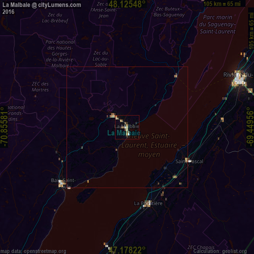
98.79%Clear (daylight) street map image can be seen on geolist.org.
Map coordinates:
48° 7' 31.7" North, 70° 51' 20.9" West
47° 39' 14.4" North, 70° 9' 9.6" West
47° 10' 41.6" North, 69° 26' 58.4" West
Some cities around La Malbaie sort by population:
• Québec
123.2 km =76.6 mi,  220°
220°
• Saguenay
108.6 km =67.5 mi,  321°
321°
• Lévis
122.2 km =75.9 mi, 219°
• La Haute-Saint-Charles
125.2 km =77.8 mi,  227°
227°
• Jonquière
117.6 km =73.1 mi, 316°
• Rivière-du-Loup
49.5 km =30.8 mi,  67°
67°
• Montmagny
80.8 km =50.2 mi,  202°
202°
• Baie-Saint-Paul
35.1 km =21.8 mi, 227°
6945986 (p: 8,959)
Sources (retrieved 2019-11-25):
» Earth at Night: Flat Maps 2012, 2016