Prattville night lights from space
Night Light of Prattville (Alabama) from space (United States) Src. Average luminocity for 10x10km area is 59.9542% and for 50x50km: 22.9652%.
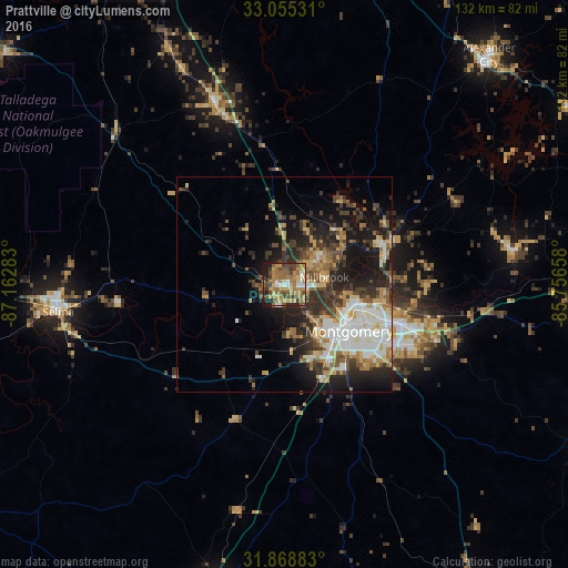
Analysis of Prattville night lights 2016
Square area 10x10 km:
 4.95%
4.95%90-99
4.76%80-89
10.26%70-79
15.02%60-69
23.26%50-59
8.42%40-49
13.92%30-39
7.69%20-29
5.13%10-19
6.59%0-9
0%Square area 50x50 km:
3.7%90-99
3.71%80-89
3.2%70-79
2.95%60-69
3.46%50-59
2.53%40-49
3.78%30-39
4.79%20-29
6.14%10-19
11.45%0-9
54.3%Clear (daylight) street map image can be seen on geolist.org.
Map coordinates:
33° 3' 19.1" North, 87° 9' 46.2" West
32° 27' 50.5" North, 86° 27' 34.9" West
31° 52' 7.8" North, 85° 45' 23.7" West
Some cities around Prattville sort by population:
• Montgomery
18.5 km =11.5 mi,  125°
125°
• Selma
53.1 km =33 mi,  263°
263°
• Millbrook
9.3 km =5.8 mi,  79°
79°
• Alexander City
71.3 km =44.3 mi,  41°
41°
• Clanton
44.6 km =27.7 mi,  339°
339°
• Pike Road
39 km =24.2 mi,  120°
120°
• Wetumpka
24.9 km =15.5 mi,  69°
69°
• Greenville
72.1 km =44.8 mi,  191°
191°
4084796 (p: 35,420)
Sources (retrieved 2019-11-25):
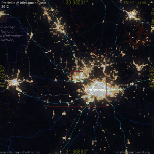
» Earth at Night: Flat Maps 2012, 2016