Clanton night lights from space
Night Light of Clanton (Alabama) from space (United States) Src. Average luminocity for 10x10km area is 42.2885% and for 50x50km: 5.5464%.
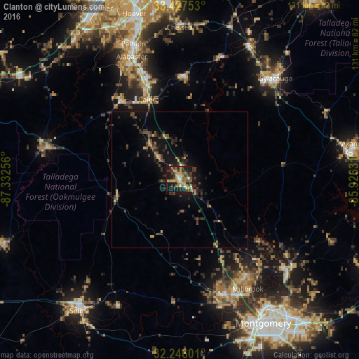
Analysis of Clanton night lights 2016
Square area 10x10 km:
 1.92%
1.92%90-99
2.8%80-89
11.19%70-79
7.34%60-69
5.94%50-59
6.82%40-49
8.74%30-39
11.89%20-29
10.49%10-19
29.9%0-9
2.97%Square area 50x50 km:
0.09%90-99
0.17%80-89
0.82%70-79
0.69%60-69
0.61%50-59
0.69%40-49
1.4%30-39
2.14%20-29
1.84%10-19
4.92%0-9
86.62%Clear (daylight) street map image can be seen on geolist.org.
Map coordinates:
33° 25' 39.1" North, 87° 19' 57.2" West
32° 50' 19.5" North, 86° 37' 45.9" West
32° 14' 45.6" North, 85° 55' 34.7" West
Some cities around Clanton sort by population:
• Prattville
44.6 km =27.7 mi,  159°
159°
• Alabaster
48.3 km =30 mi,  338°
338°
• Pelham
52.5 km =32.6 mi, 341°
• Millbrook
47.1 km =29.3 mi,  147°
147°
• Calera
31.6 km =19.6 mi, 338°
• Sylacauga
51.2 km =31.8 mi,  43°
43°
• Wetumpka
51 km =31.7 mi,  130°
130°
• Montevallo
36.4 km =22.6 mi,  323°
323°
4055577 (p: 8,844)
Sources (retrieved 2019-11-25):
» Earth at Night: Flat Maps 2012, 2016