Montgomery night lights from space
Night Light of Montgomery (Alabama) from space (United States) Src. Average luminocity for 10x10km area is 93.9011% and for 50x50km: 28.8018%.
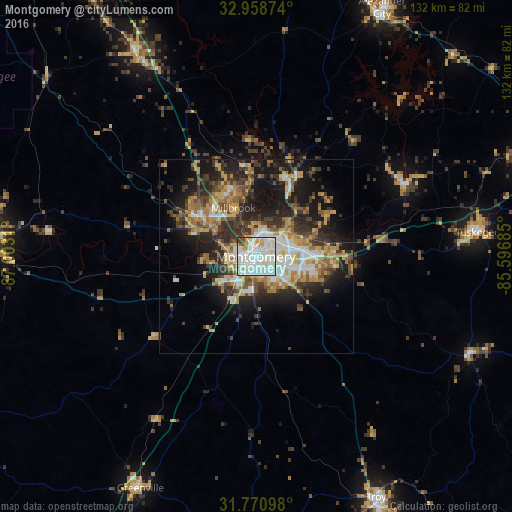
Analysis of Montgomery night lights 2016
Square area 10x10 km:
 44.87%
90-99
37.55%80-89
6.23%70-79
6.04%60-69
0.55%50-59
1.65%40-49
1.83%30-39
1.28%20-29
0%10-19
0%0-9
0%Square area 50x50 km:
4.41%90-99
4.47%80-89
4.31%70-79
4.07%60-69
4.78%50-59
3.04%40-49
4.18%30-39
5.92%20-29
8.08%10-19
14.68%0-9
42.05%Clear (daylight) street map image can be seen on geolist.org.
Map coordinates:
32° 57' 31.5" North, 87° 0' 11.2" West
32° 22' 0.5" North, 86° 17' 59.9" West
31° 46' 15.5" North, 85° 35' 48.7" West
Some cities around Montgomery sort by population:
• Prattville
18.5 km =11.5 mi,  305°
305°
• Selma
67.9 km =42.2 mi,  273°
273°
• Millbrook
13.8 km =8.6 mi,  335°
335°
• Clanton
60.9 km =37.8 mi,  329°
329°
• Tuskegee
57.5 km =35.7 mi,  83°
83°
• Pike Road
20.7 km =12.9 mi,  116°
116°
• Wetumpka
21.3 km =13.2 mi,  22°
22°
• Greenville
66.8 km =41.5 mi,  206°
206°
4076784 (p: 200,602)
Sources (retrieved 2019-11-25):
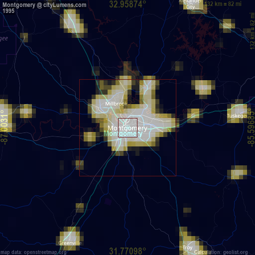
» NASA, Earths city lights 1995
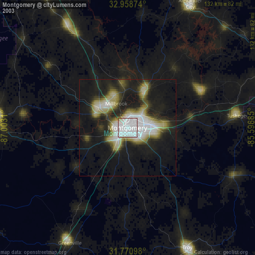
» NASA city lights 2003
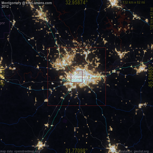
» Earth at Night: Flat Maps 2012, 2016