Greenville night lights from space
Night Light of Greenville (Alabama) from space (United States) Src. Average luminocity for 10x10km area is 29.5476% and for 50x50km: 2.0809%.
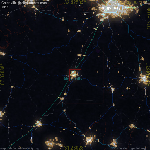
Analysis of Greenville night lights 2016
Square area 10x10 km:
 1.28%
1.28%90-99
3.3%80-89
4.03%70-79
10.62%60-69
7.69%50-59
1.28%40-49
1.1%30-39
2.93%20-29
3.66%10-19
31.5%0-9
32.6%Square area 50x50 km:
0.05%90-99
0.13%80-89
0.22%70-79
0.72%60-69
0.45%50-59
0.08%40-49
0.24%30-39
0.44%20-29
0.29%10-19
1.56%0-9
95.82%Clear (daylight) street map image can be seen on geolist.org.
Map coordinates:
32° 25' 30.2" North, 87° 19' 15.2" West
31° 49' 46.6" North, 86° 37' 3.9" West
31° 13' 49" North, 85° 54' 52.7" West
Some cities around Greenville sort by population:
• Montgomery
66.8 km =41.5 mi,  26°
26°
• Prattville
72.1 km =44.8 mi,  11°
11°
• Selma
74.6 km =46.4 mi,  329°
329°
• Troy
61.2 km =38 mi,  92°
92°
• Andalusia
59.4 km =36.9 mi,  167°
167°
• Pike Road
70.1 km =43.6 mi,  43°
43°
• Opp
69.8 km =43.4 mi,  150°
150°
• Monroeville
74.8 km =46.5 mi,  243°
243°
4065302 (p: 7,845)
Sources (retrieved 2019-11-25):
» Earth at Night: Flat Maps 2012, 2016