Pottstown night lights from space
Night Light of Pottstown (Pennsylvania) from space (United States) Src. Average luminocity for 10x10km area is 47.1071% and for 50x50km: 32.0183%.
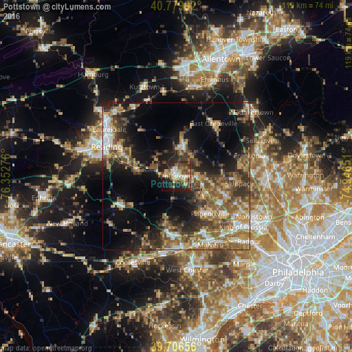
Analysis of Pottstown night lights 2016
Square area 10x10 km:
 4.38%
4.38%90-99
6.01%80-89
9.9%70-79
6.49%60-69
7.14%50-59
8.6%40-49
9.74%30-39
8.93%20-29
17.53%10-19
18.67%0-9
2.6%Square area 50x50 km:
3.42%90-99
3.48%80-89
4.67%70-79
4.69%60-69
5.68%50-59
7.37%40-49
5.74%30-39
6.59%20-29
7.5%10-19
14.03%0-9
36.83%Clear (daylight) street map image can be seen on geolist.org.
Map coordinates:
40° 46' 47.7" North, 76° 21' 9.9" West
40° 14' 43.3" North, 75° 38' 58.7" West
39° 42' 23.6" North, 74° 56' 47.4" West
Some cities around Pottstown sort by population:
• Limerick
10.9 km =6.8 mi,  98°
98°
• Phoenixville
17.2 km =10.7 mi,  138°
138°
• Harleysville
22.6 km =14 mi,  80°
80°
• Sanatoga
4.6 km =2.9 mi,  90°
90°
• Chester Springs
16.9 km =10.5 mi,  170°
170°
• Lionville
21.3 km =13.2 mi,  182°
182°
• Collegeville
18.1 km =11.2 mi,  111°
111°
• Birdsboro
13.3 km =8.3 mi,  279°
279°
5207069 (p: 22,664)
Sources (retrieved 2019-11-25):
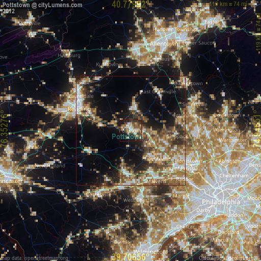
» Earth at Night: Flat Maps 2012, 2016