Idaho Falls night lights from space
Night Light of Idaho Falls (Idaho) from space (United States) Src. Average luminocity for 10x10km area is 58.7206% and for 50x50km: 5.2602%.
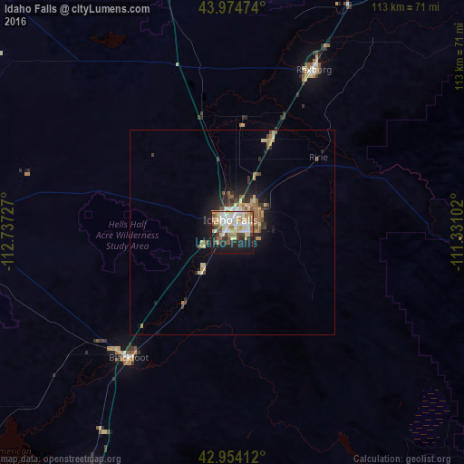
Analysis of Idaho Falls night lights 2016
Square area 10x10 km:
 12.22%
90-99
12.7%80-89
14.6%70-79
6.03%60-69
5.56%50-59
8.1%40-49
5.56%30-39
4.6%20-29
10.16%10-19
19.68%0-9
0.79%Square area 50x50 km:
0.56%90-99
0.68%80-89
1.12%70-79
0.62%60-69
0.59%50-59
0.99%40-49
0.68%30-39
0.63%20-29
1.2%10-19
3.44%0-9
89.5%Clear (daylight) street map image can be seen on geolist.org.
Map coordinates:
43° 58' 29.1" North, 112° 44' 14.2" West
43° 27' 59.7" North, 112° 2' 2.9" West
42° 57' 14.8" North, 111° 19' 51.7" West
Some cities around Idaho Falls sort by population:
• Pocatello
74.1 km =46 mi,  206°
206°
• Rexburg
44.5 km =27.7 mi,  26°
26°
• Ammon
5.5 km =3.4 mi,  86°
86°
• Chubbuck
70.1 km =43.6 mi, 209°
• Blackfoot
39.7 km =24.7 mi,  219°
219°
• Jackson
102.6 km =63.8 mi, 89°
• Rupert
163.4 km =101.5 mi,  234°
234°
• Preston
152.9 km =95 mi,  175°
175°
5596475 (p: 59,184)
Sources (retrieved 2019-11-25):
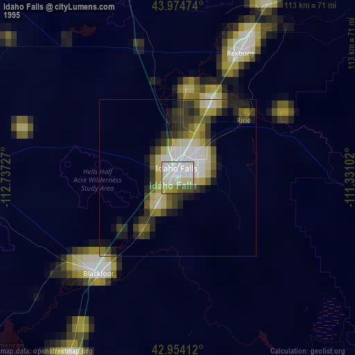
» NASA, Earths city lights 1995
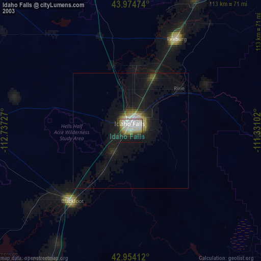
» NASA city lights 2003
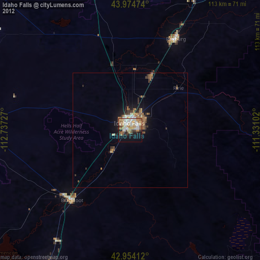
» Earth at Night: Flat Maps 2012, 2016