Rexburg night lights from space
Night Light of Rexburg (Idaho) from space (United States) Src. Average luminocity for 10x10km area is 20.5397% and for 50x50km: 1.5065%.
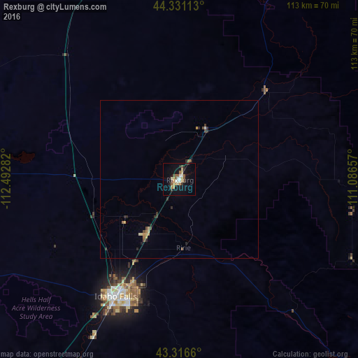
Analysis of Rexburg night lights 2016
Square area 10x10 km:
 1.43%
1.43%90-99
3.33%80-89
3.97%70-79
2.86%60-69
1.75%50-59
3.97%40-49
2.06%30-39
1.9%20-29
2.86%10-19
16.51%0-9
59.37%Square area 50x50 km:
0.07%90-99
0.14%80-89
0.3%70-79
0.17%60-69
0.2%50-59
0.22%40-49
0.23%30-39
0.21%20-29
0.44%10-19
0.67%0-9
97.34%Clear (daylight) street map image can be seen on geolist.org.
Map coordinates:
44° 19' 52.1" North, 112° 29' 34.2" West
43° 49' 33.7" North, 111° 47' 22.9" West
43° 18' 59.8" North, 111° 5' 11.7" West
Some cities around Rexburg sort by population:
• Idaho Falls
44.5 km =27.7 mi,  206°
206°
• Pocatello
118.7 km =73.8 mi, 206°
• Ammon
42.1 km =26.2 mi,  199°
199°
• Chubbuck
114.5 km =71.1 mi, 208°
• Blackfoot
83.7 km =52 mi, 212°
• Jackson
91.2 km =56.7 mi,  114°
114°
• Rupert
203.5 km =126.4 mi,  228°
228°
• Preston
192.5 km =119.6 mi,  182°
182°
5605242 (p: 27,663)
Sources (retrieved 2019-11-25):
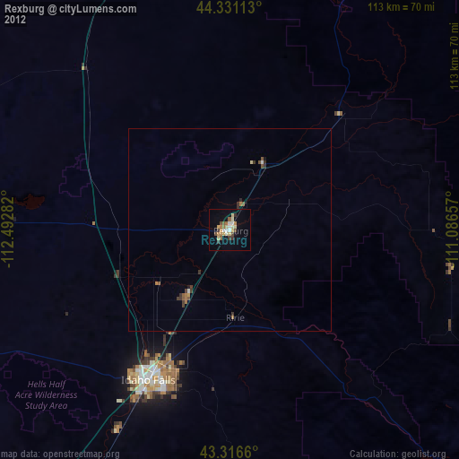
» Earth at Night: Flat Maps 2012, 2016