Plattsburgh night lights from space
Night Light of Plattsburgh (New York) from space (United States) Src. Average luminocity for 10x10km area is 38.6833% and for 50x50km: 4.3815%.
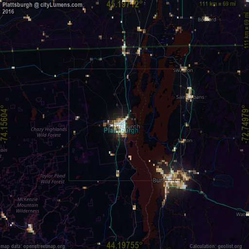
Analysis of Plattsburgh night lights 2016
Square area 10x10 km:
 9.24%
9.24%90-99
7.12%80-89
6.21%70-79
2.73%60-69
3.33%50-59
3.79%40-49
4.09%30-39
5.76%20-29
10.15%10-19
25.76%0-9
21.82%Square area 50x50 km:
0.49%90-99
0.69%80-89
0.68%70-79
0.35%60-69
0.45%50-59
0.63%40-49
0.65%30-39
0.6%20-29
1.29%10-19
3.53%0-9
90.64%Clear (daylight) street map image can be seen on geolist.org.
Map coordinates:
45° 11' 49.6" North, 74° 9' 21.7" West
44° 41' 58.2" North, 73° 27' 10.5" West
44° 11' 51.2" North, 72° 44' 59.2" West
Some cities around Plattsburgh sort by population:
• Burlington
31.3 km =19.4 mi,  142°
142°
• South Burlington
34.2 km =21.3 mi, 139°
• Colchester
29.7 km =18.5 mi,  125°
125°
• Essex Junction
35.7 km =22.2 mi, 130°
• Williston
42.2 km =26.2 mi, 133°
• Winooski
31.3 km =19.4 mi, 137°
• Saint Albans
31.7 km =19.7 mi,  67°
67°
• Saint-Rémi, CA
64.4 km =40 mi,  348°
348°
5131692 (p: 19,806)
Sources (retrieved 2019-11-25):
» Earth at Night: Flat Maps 2012, 2016