Winooski night lights from space
Night Light of Winooski (Vermont) from space (United States) Src. Average luminocity for 10x10km area is 49.1159% and for 50x50km: 5.6711%.
Analysis of Winooski night lights 2016
Square area 10x10 km:
 3.97%
3.97%90-99
8.89%80-89
7.14%70-79
9.05%60-69
9.84%50-59
9.37%40-49
6.35%30-39
6.03%20-29
17.62%10-19
21.59%0-9
0.16%Square area 50x50 km:
0.51%90-99
0.89%80-89
0.89%70-79
0.67%60-69
0.71%50-59
0.77%40-49
0.94%30-39
0.8%20-29
1.58%10-19
4.32%0-9
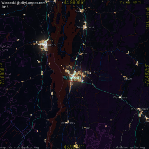
87.92%Clear (daylight) street map image can be seen on geolist.org.
Map coordinates:
44° 59' 27.1" North, 73° 53' 19.7" West
44° 29' 29.2" North, 73° 11' 8.4" West
43° 59' 15.8" North, 72° 28' 57.2" West
Some cities around Winooski sort by population:
• Burlington
2.7 km =1.7 mi,  230°
230°
• Plattsburgh
31.3 km =19.4 mi,  317°
317°
• South Burlington
3 km =1.9 mi,  156°
156°
• Colchester
6.6 km =4.1 mi,  27°
27°
• Essex Junction
5.9 km =3.7 mi,  90°
90°
• Williston
11.1 km =6.9 mi,  122°
122°
• Saint Albans
36.4 km =22.6 mi,  12°
12°
• Morristown
45.1 km =28 mi,  80°
80°
5243081 (p: 7,193)
Sources (retrieved 2019-11-25):
» Earth at Night: Flat Maps 2012, 2016