South Burlington night lights from space
Night Light of South Burlington (Vermont) from space (United States) Src. Average luminocity for 10x10km area is 53.9603% and for 50x50km: 4.989%.
Analysis of South Burlington night lights 2016
Square area 10x10 km:
 4.13%
4.13%90-99
10.95%80-89
9.05%70-79
9.21%60-69
10.48%50-59
9.52%40-49
8.73%30-39
8.89%20-29
16.98%10-19
11.9%0-9
0.16%Square area 50x50 km:
0.28%90-99
0.74%80-89
0.81%70-79
0.63%60-69
0.68%50-59
0.74%40-49
0.79%30-39
0.73%20-29
1.44%10-19
4.08%0-9
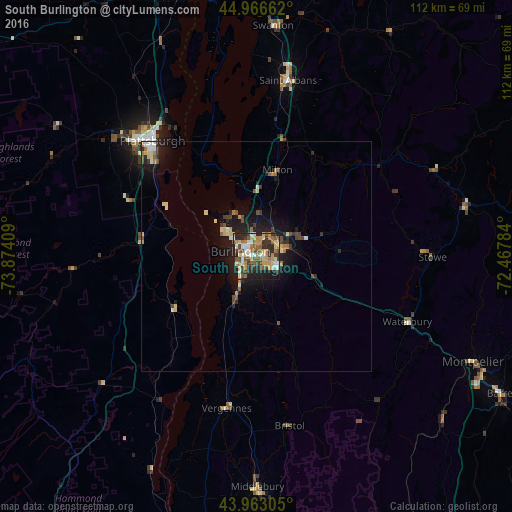
89.07%Clear (daylight) street map image can be seen on geolist.org.
Map coordinates:
44° 57' 59.8" North, 73° 52' 26.7" West
44° 28' 1.2" North, 73° 10' 15.5" West
43° 57' 47" North, 72° 28' 4.2" West
Some cities around South Burlington sort by population:
• Burlington
3.4 km =2.1 mi,  286°
286°
• Plattsburgh
34.2 km =21.3 mi,  319°
319°
• Colchester
8.7 km =5.4 mi,  12°
12°
• Essex Junction
5.4 km =3.4 mi,  61°
61°
• Williston
8.8 km =5.5 mi,  111°
111°
• Winooski
3 km =1.9 mi,  336°
336°
• Saint Albans
38.9 km =24.2 mi, 10°
• Morristown
44.5 km =27.7 mi,  76°
76°
5241248 (p: 18,791)
Sources (retrieved 2019-11-25):
» Earth at Night: Flat Maps 2012, 2016