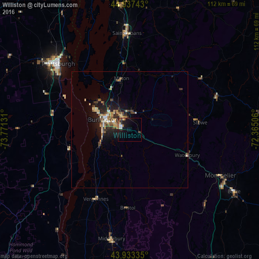
Williston night lights from space
Night Light of Williston (Vermont) from space (United States) Src. Average luminocity for 10x10km area is 12.2333% and for 50x50km: 4.2035%.
Analysis of Williston night lights 2016
Square area 10x10 km:
 0.79%
0.79%90-99
2.86%80-89
1.43%70-79
0.63%60-69
2.54%50-59
0%40-49
1.27%30-39
2.22%20-29
2.54%10-19
14.92%0-9
70.79%Square area 50x50 km:
0.18%90-99
0.64%80-89
0.56%70-79
0.55%60-69
0.62%50-59
0.68%40-49
0.73%30-39
0.7%20-29
1.32%10-19
3.44%0-9
90.58%Clear (daylight) street map image can be seen on geolist.org.
Map coordinates:
44° 56' 14.7" North, 73° 46' 16.7" West
44° 26' 15.2" North, 73° 4' 5.4" West
43° 56' 0.1" North, 72° 21' 54.2" West
Some cities around Williston sort by population:
• Burlington
12.2 km =7.6 mi,  290°
290°
• Plattsburgh
42.2 km =26.2 mi,  313°
313°
• South Burlington
8.8 km =5.5 mi, 291°
• Colchester
13.4 km =8.3 mi,  331°
331°
• Essex Junction
6.8 km =4.2 mi, 330°
• Winooski
11.1 km =6.9 mi,  302°
302°
• Saint Albans
41.5 km =25.8 mi,  358°
358°
• Morristown
37.7 km =23.4 mi,  69°
69°
5243008 (p: 8,314)
Sources (retrieved 2019-11-25):
» Earth at Night: Flat Maps 2012, 2016