Burlington night lights from space
Night Light of Burlington (Vermont) from space (United States) Src. Average luminocity for 10x10km area is 44.127% and for 50x50km: 5.6292%.
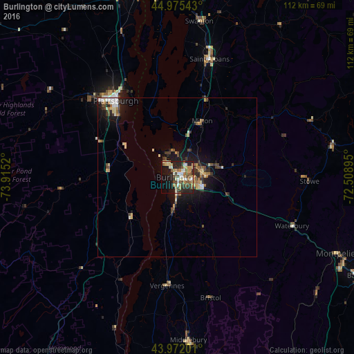
Analysis of Burlington night lights 2016
Square area 10x10 km:
 3.97%
3.97%90-99
9.21%80-89
7.3%70-79
5.56%60-69
6.19%50-59
9.52%40-49
7.14%30-39
4.92%20-29
15.24%10-19
19.21%0-9
11.75%Square area 50x50 km:
0.45%90-99
0.88%80-89
0.88%70-79
0.65%60-69
0.71%50-59
0.76%40-49
0.96%30-39
0.8%20-29
1.56%10-19
4.52%0-9
87.83%Clear (daylight) street map image can be seen on geolist.org.
Map coordinates:
44° 58' 31.5" North, 73° 54' 54.7" West
44° 28' 33.2" North, 73° 12' 43.5" West
43° 58' 19.2" North, 72° 30' 32.2" West
Some cities around Burlington sort by population:
• Plattsburgh
31.3 km =19.4 mi,  322°
322°
• South Burlington
3.4 km =2.1 mi,  106°
106°
• Colchester
9.1 km =5.7 mi,  33°
33°
• Essex Junction
8.2 km =5.1 mi,  78°
78°
• Williston
12.2 km =7.6 mi, 110°
• Winooski
2.7 km =1.7 mi,  50°
50°
• Saint Albans
38.6 km =24 mi,  15°
15°
• Morristown
47.5 km =29.5 mi, 79°
5234372 (p: 42,452)
Sources (retrieved 2019-11-25):
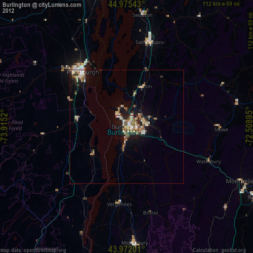
» Earth at Night: Flat Maps 2012, 2016