Colchester night lights from space
Night Light of Colchester (Vermont) from space (United States) Src. Average luminocity for 10x10km area is 17.0429% and for 50x50km: 5.088%.
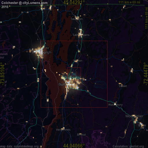
Analysis of Colchester night lights 2016
Square area 10x10 km:
 0.79%
0.79%90-99
0.95%80-89
2.38%70-79
1.43%60-69
2.38%50-59
1.9%40-49
2.86%30-39
4.13%20-29
8.25%10-19
22.86%0-9
52.06%Square area 50x50 km:
0.33%90-99
0.77%80-89
0.78%70-79
0.59%60-69
0.66%50-59
0.69%40-49
0.85%30-39
0.75%20-29
1.55%10-19
4.31%0-9
88.73%Clear (daylight) street map image can be seen on geolist.org.
Map coordinates:
45° 2' 34.5" North, 73° 51' 3.7" West
44° 32' 38.2" North, 73° 8' 52.5" West
44° 2' 26.4" North, 72° 26' 41.2" West
Some cities around Colchester sort by population:
• Burlington
9.1 km =5.7 mi,  213°
213°
• Plattsburgh
29.7 km =18.5 mi,  305°
305°
• South Burlington
8.7 km =5.4 mi,  192°
192°
• Essex Junction
6.6 km =4.1 mi,  153°
153°
• Williston
13.4 km =8.3 mi, 151°
• Winooski
6.6 km =4.1 mi, 207°
• Saint Albans
30.1 km =18.7 mi,  9°
9°
• Morristown
41.6 km =25.8 mi,  87°
87°
5235024 (p: 16,986)
Sources (retrieved 2019-11-25):
» Earth at Night: Flat Maps 2012, 2016