Saint Albans night lights from space
Night Light of Saint Albans (Vermont) from space (United States) Src. Average luminocity for 10x10km area is 13.9381% and for 50x50km: 1.4376%.
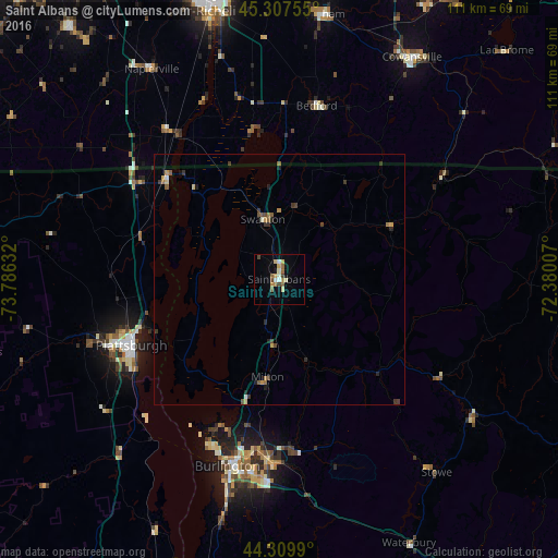
Analysis of Saint Albans night lights 2016
Square area 10x10 km:
 1.27%
1.27%90-99
2.06%80-89
3.02%70-79
1.27%60-69
2.7%50-59
1.75%40-49
2.54%30-39
0%20-29
0%10-19
3.49%0-9
81.9%Square area 50x50 km:
0.06%90-99
0.14%80-89
0.19%70-79
0.2%60-69
0.23%50-59
0.3%40-49
0.24%30-39
0.33%20-29
0.25%10-19
0.24%0-9
97.82%Clear (daylight) street map image can be seen on geolist.org.
Map coordinates:
45° 18' 27.2" North, 73° 47' 10.8" West
44° 48' 39.2" North, 73° 4' 59.5" West
44° 18' 35.6" North, 72° 22' 48.3" West
Some cities around Saint Albans sort by population:
• Burlington
38.6 km =24 mi,  195°
195°
• Plattsburgh
31.7 km =19.7 mi,  247°
247°
• South Burlington
38.9 km =24.2 mi,  190°
190°
• Colchester
30.1 km =18.7 mi, 189°
• Essex Junction
35.7 km =22.2 mi,  183°
183°
• Williston
41.5 km =25.8 mi, 178°
• Winooski
36.4 km =22.6 mi, 192°
• Morristown
46 km =28.6 mi,  127°
127°
5240569 (p: 6,918)
Sources (retrieved 2019-11-25):
» Earth at Night: Flat Maps 2012, 2016