Placentia night lights from space
Night Light of Placentia (California) from space (United States) Src. Average luminocity for 10x10km area is 93.6259% and for 50x50km: 78.5832%.

Analysis of Placentia night lights 2016
Square area 10x10 km:
 42.66%
90-99
30.94%80-89
14.16%70-79
9.79%60-69
2.27%50-59
0.17%40-49
0%30-39
0%20-29
0%10-19
0%0-9
0%Square area 50x50 km:
30.29%90-99
23.84%80-89
7.56%70-79
9.15%60-69
8.41%50-59
4.51%40-49
4.29%30-39
2.78%20-29
2.29%10-19
2.86%0-9
4.02%Clear (daylight) street map image can be seen on geolist.org.
Map coordinates:
34° 27' 14.5" North, 118° 34' 24.5" West
33° 52' 20.1" North, 117° 52' 13.2" West
33° 17' 11.3" North, 117° 10' 2" West
Some cities around Placentia sort by population:
• Anaheim
5.8 km =3.6 mi,  224°
224°
• Orange
9.5 km =5.9 mi,  170°
170°
• Fullerton
5.1 km =3.2 mi,  267°
267°
• Buena Park
11.8 km =7.3 mi, 267°
• Yorba Linda
5.6 km =3.5 mi,  70°
70°
• La Habra
9.6 km =6 mi,  313°
313°
• Brea
5.7 km =3.5 mi,  330°
330°
• Villa Park
8.3 km =5.2 mi,  140°
140°
5383527 (p: 52,495)
Sources (retrieved 2019-11-25):
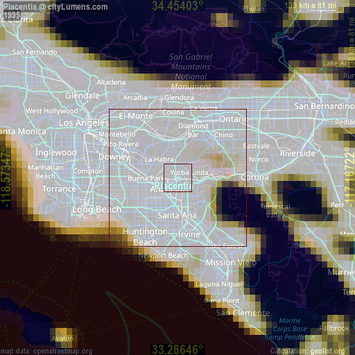
» NASA, Earths city lights 1995
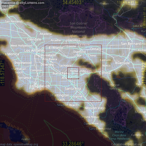
» NASA city lights 2003
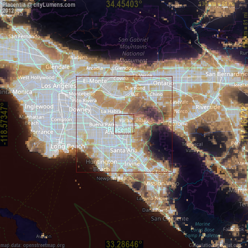
» Earth at Night: Flat Maps 2012, 2016