Buena Park night lights from space
Night Light of Buena Park (California) from space (United States) Src. Average luminocity for 10x10km area is 97.0857% and for 50x50km: 84.7706%.

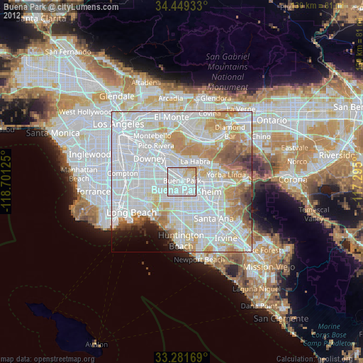
Analysis of Buena Park night lights 2016
Square area 10x10 km:
 61.71%
90-99
26.22%80-89
6.47%70-79
5.59%60-69
0%50-59
0%40-49
0%30-39
0%20-29
0%10-19
0%0-9
0%Square area 50x50 km:
41.89%90-99
23.71%80-89
6.57%70-79
8.17%60-69
6.51%50-59
3.26%40-49
2.39%30-39
1.09%20-29
1.45%10-19
1.68%0-9
3.27%Clear (daylight) street map image can be seen on geolist.org.
Map coordinates:
34° 26' 57.6" North, 118° 42' 4.5" West
33° 52' 3" North, 117° 59' 53.2" West
33° 16' 54.1" North, 117° 17' 42" West
Some cities around Buena Park sort by population:
• Fullerton
6.7 km =4.2 mi,  87°
87°
• Cerritos
6.2 km =3.9 mi,  260°
260°
• La Mirada
5.7 km =3.5 mi,  346°
346°
• Cypress
6.7 km =4.2 mi,  212°
212°
• Stanton
7.2 km =4.5 mi,  176°
176°
• Artesia
7.8 km =4.8 mi,  268°
268°
• La Palma
5.1 km =3.2 mi,  242°
242°
• East La Mirada
6.4 km =4 mi,  7°
7°
5331575 (p: 83,270)
Sources (retrieved 2019-11-25):
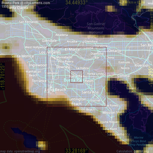
» NASA, Earths city lights 1995
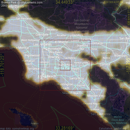
» NASA city lights 2003
» Earth at Night: Flat Maps 2012, 2016