Fullerton night lights from space
Night Light of Fullerton (California) from space (United States) Src. Average luminocity for 10x10km area is 94.5647% and for 50x50km: 81.604%.
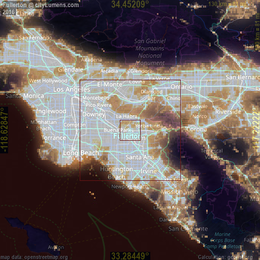
Analysis of Fullerton night lights 2016
Square area 10x10 km:
 48.95%
90-99
26.4%80-89
13.46%70-79
11.19%60-69
0%50-59
0%40-49
0%30-39
0%20-29
0%10-19
0%0-9
0%Square area 50x50 km:
34.93%90-99
24.46%80-89
7.25%70-79
8.55%60-69
7.34%50-59
3.92%40-49
3.72%30-39
2.49%20-29
2.09%10-19
2.34%0-9
2.93%Clear (daylight) street map image can be seen on geolist.org.
Map coordinates:
34° 27' 7.5" North, 118° 37' 42.5" West
33° 52' 13" North, 117° 55' 31.2" West
33° 17' 4.2" North, 117° 13' 20" West
Some cities around Fullerton sort by population:
• Anaheim
4 km =2.5 mi,  165°
165°
• Buena Park
6.7 km =4.2 mi,  267°
267°
• La Habra
7.1 km =4.4 mi,  344°
344°
• Placentia
5.1 km =3.2 mi,  87°
87°
• La Mirada
9.6 km =6 mi,  303°
303°
• Brea
5.7 km =3.5 mi,  24°
24°
• Stanton
9.8 km =6.1 mi,  219°
219°
• East La Mirada
8.4 km =5.2 mi,  315°
315°
5351247 (p: 140,847)
Sources (retrieved 2019-11-25):
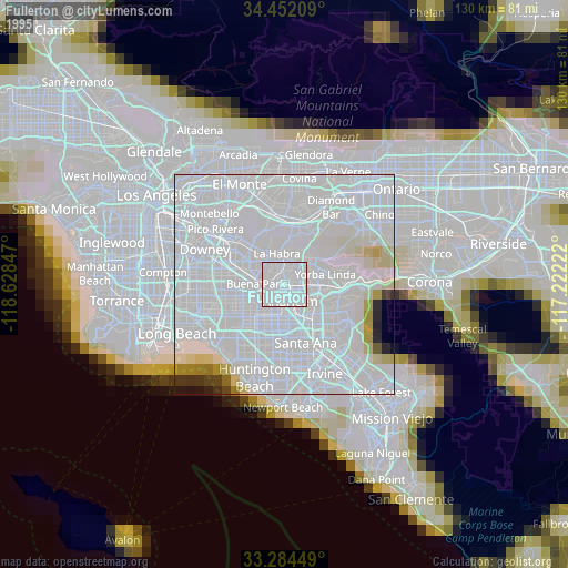
» NASA, Earths city lights 1995
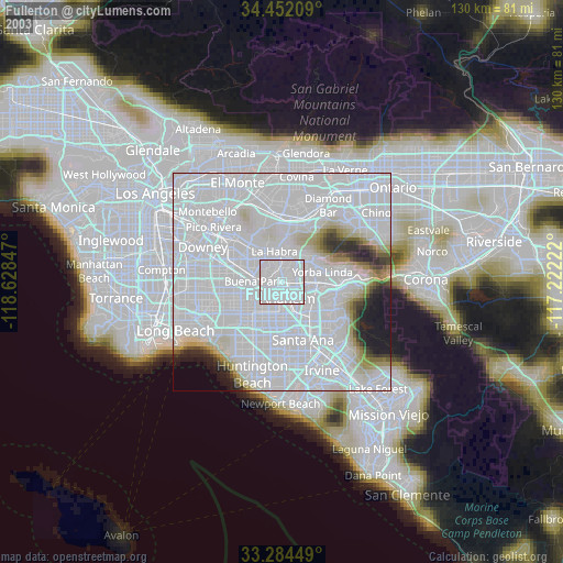
» NASA city lights 2003
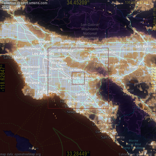
» Earth at Night: Flat Maps 2012, 2016