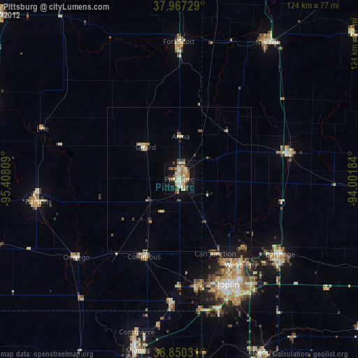
Pittsburg night lights from space
Night Light of Pittsburg (Kansas) from space (United States) Src. Average luminocity for 10x10km area is 36.7143% and for 50x50km: 2.9833%.
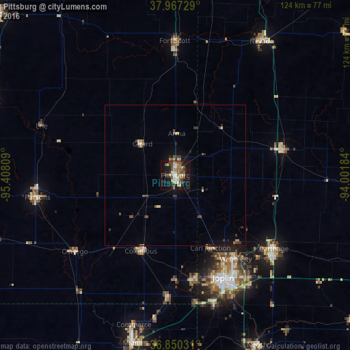
Analysis of Pittsburg night lights 2016
Square area 10x10 km:
 3.25%
3.25%90-99
5.19%80-89
6.17%70-79
3.57%60-69
6.98%50-59
7.79%40-49
7.79%30-39
4.38%20-29
4.38%10-19
33.77%0-9
16.72%Square area 50x50 km:
0.14%90-99
0.31%80-89
0.47%70-79
0.32%60-69
0.38%50-59
0.55%40-49
0.59%30-39
0.68%20-29
0.36%10-19
2.46%0-9
93.75%Clear (daylight) street map image can be seen on geolist.org.
Map coordinates:
37° 58' 2.2" North, 95° 24' 29.1" West
37° 24' 39.2" North, 94° 42' 17.9" West
36° 51' 1.1" North, 94° 0' 6.6" West
Some cities around Pittsburg sort by population:
• Joplin
40.1 km =24.9 mi,  154°
154°
• Carthage
43.6 km =27.1 mi,  126°
126°
• Miami
61.6 km =38.3 mi,  194°
194°
• Webb City
36.4 km =22.6 mi,  143°
143°
• Parsons
49.8 km =30.9 mi,  260°
260°
• Nevada
56.7 km =35.2 mi,  32°
32°
• Fort Scott
47.7 km =29.6 mi,  359°
359°
• Carl Junction
28.8 km =17.9 mi, 154°
4277241 (p: 20,409)
Sources (retrieved 2019-11-25):
» Earth at Night: Flat Maps 2012, 2016