Fort Scott night lights from space
Night Light of Fort Scott (Kansas) from space (United States) Src. Average luminocity for 10x10km area is 14.1684% and for 50x50km: 0.7149%.
Analysis of Fort Scott night lights 2016
Square area 10x10 km:
 1.53%
1.53%90-99
0.51%80-89
1.87%70-79
1.36%60-69
2.55%50-59
4.25%40-49
2.89%30-39
1.19%20-29
3.74%10-19
0.85%0-9
79.25%Square area 50x50 km:
0.06%90-99
0.02%80-89
0.08%70-79
0.1%60-69
0.13%50-59
0.2%40-49
0.17%30-39
0.07%20-29
0.15%10-19
0.03%0-9
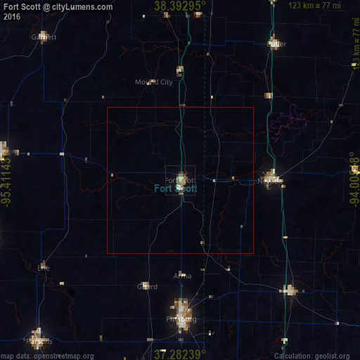
98.99%Clear (daylight) street map image can be seen on geolist.org.
Map coordinates:
38° 23' 34.6" North, 95° 24' 41.1" West
37° 50' 23.1" North, 94° 42' 29.9" West
37° 16' 56.6" North, 94° 0' 18.6" West
Some cities around Fort Scott sort by population:
• Pittsburg
47.7 km =29.6 mi,  179°
179°
• Carthage
81.7 km =50.8 mi,  154°
154°
• Webb City
80.1 km =49.8 mi,  164°
164°
• Parsons
73.9 km =45.9 mi,  221°
221°
• Chanute
68.2 km =42.4 mi,  254°
254°
• Nevada
31.1 km =19.3 mi,  90°
90°
• Carl Junction
74.8 km =46.5 mi,  170°
170°
• Iola
61.4 km =38.2 mi,  278°
278°
4271690 (p: 7,838)
Sources (retrieved 2019-11-25):
» Earth at Night: Flat Maps 2012, 2016