Nevada night lights from space
Night Light of Nevada (Missouri) from space (United States) Src. Average luminocity for 10x10km area is 21.2109% and for 50x50km: 1.0523%.
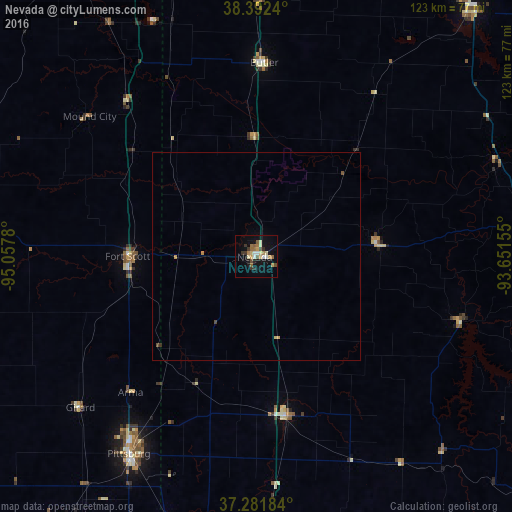
Analysis of Nevada night lights 2016
Square area 10x10 km:
 1.87%
1.87%90-99
2.21%80-89
3.4%70-79
3.4%60-69
3.57%50-59
3.74%40-49
1.87%30-39
3.91%20-29
1.87%10-19
13.61%0-9
60.54%Square area 50x50 km:
0.07%90-99
0.09%80-89
0.17%70-79
0.21%60-69
0.14%50-59
0.19%40-49
0.11%30-39
0.18%20-29
0.07%10-19
0.55%0-9
98.21%Clear (daylight) street map image can be seen on geolist.org.
Map coordinates:
38° 23' 32.6" North, 95° 3' 28.1" West
37° 50' 21.2" North, 94° 21' 16.8" West
37° 16' 54.6" North, 93° 39' 5.6" West
Some cities around Nevada sort by population:
• Joplin
85.1 km =52.9 mi,  189°
189°
• Pittsburg
56.7 km =35.2 mi,  212°
212°
• Carthage
73.8 km =45.9 mi,  176°
176°
• Webb City
77.6 km =48.2 mi, 187°
• Bolivar
86.7 km =53.9 mi,  106°
106°
• Clinton
77.5 km =48.2 mi,  40°
40°
• Fort Scott
31.1 km =19.3 mi,  270°
270°
• Carl Junction
76 km =47.2 mi, 194°
4400203 (p: 8,253)
Sources (retrieved 2019-11-25):
» Earth at Night: Flat Maps 2012, 2016