Pikesville night lights from space
Night Light of Pikesville (Maryland) from space (United States) Src. Average luminocity for 10x10km area is 89.415% and for 50x50km: 55.7964%.
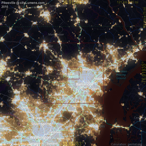
Analysis of Pikesville night lights 2016
Square area 10x10 km:
 33.16%
90-99
30.61%80-89
10.03%70-79
13.27%60-69
10.37%50-59
1.87%40-49
0.68%30-39
0%20-29
0%10-19
0%0-9
0%Square area 50x50 km:
17.5%90-99
12.57%80-89
5.91%70-79
6.98%60-69
6.6%50-59
5.58%40-49
4.95%30-39
6.03%20-29
7.62%10-19
13.77%0-9
12.48%Clear (daylight) street map image can be seen on geolist.org.
Map coordinates:
39° 54' 56.4" North, 77° 25' 32.2" West
39° 22' 27.4" North, 76° 43' 20.9" West
38° 49' 43.1" North, 76° 1' 9.7" West
Some cities around Pikesville sort by population:
• Woodlawn
5.7 km =3.5 mi,  184°
184°
• Randallstown
6.3 km =3.9 mi,  262°
262°
• Owings Mills
7.1 km =4.4 mi,  315°
315°
• Milford Mill
5 km =3.1 mi,  234°
234°
• Lochearn
3.7 km =2.3 mi, 179°
• Mays Chapel
9.1 km =5.7 mi,  43°
43°
• Garrison
4.8 km =3 mi, 317°
• Lutherville
9.8 km =6.1 mi,  57°
57°
4365387 (p: 30,764)
Sources (retrieved 2019-11-25):
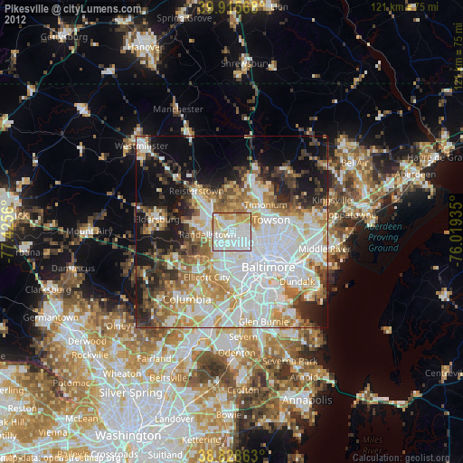
» Earth at Night: Flat Maps 2012, 2016