Owings Mills night lights from space
Night Light of Owings Mills (Maryland) from space (United States) Src. Average luminocity for 10x10km area is 77.9065% and for 50x50km: 45.6841%.
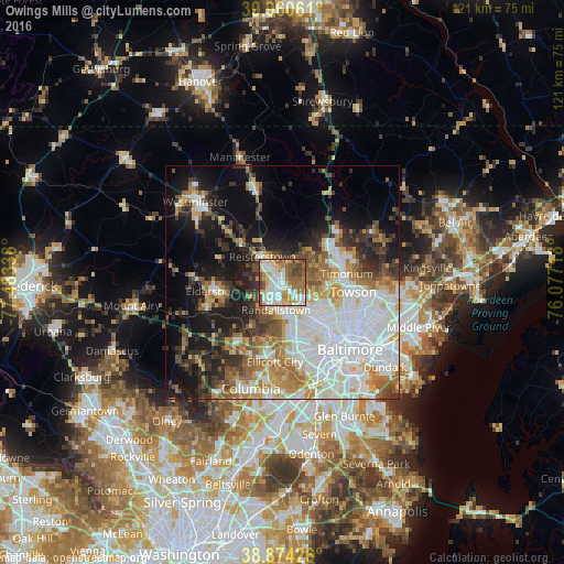
Analysis of Owings Mills night lights 2016
Square area 10x10 km:
 19.56%
90-99
20.07%80-89
13.44%70-79
7.99%60-69
15.48%50-59
13.61%40-49
7.99%30-39
1.87%20-29
0%10-19
0%0-9
0%Square area 50x50 km:
14.21%90-99
9.29%80-89
4.38%70-79
5.42%60-69
5.59%50-59
5.17%40-49
4.24%30-39
5.56%20-29
6.63%10-19
13.98%0-9
25.52%Clear (daylight) street map image can be seen on geolist.org.
Map coordinates:
39° 57' 38.2" North, 77° 29' 0.2" West
39° 25' 10.4" North, 76° 46' 48.9" West
38° 52' 27.3" North, 76° 4' 37.7" West
Some cities around Owings Mills sort by population:
• Woodlawn
11.6 km =7.2 mi,  157°
157°
• Randallstown
5.9 km =3.7 mi,  192°
192°
• Pikesville
7.1 km =4.4 mi,  135°
135°
• Milford Mill
8 km =5 mi,  173°
173°
• Reisterstown
7.1 km =4.4 mi,  321°
321°
• Lochearn
10.1 km =6.3 mi,  150°
150°
• Mays Chapel
11.3 km =7 mi,  82°
82°
• Garrison
2.3 km =1.4 mi,  131°
131°
4364727 (p: 30,622)
Sources (retrieved 2019-11-25):
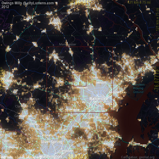
» Earth at Night: Flat Maps 2012, 2016