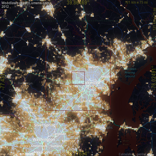
Woodlawn night lights from space
Night Light of Woodlawn (Maryland) from space (United States) Src. Average luminocity for 10x10km area is 95.6939% and for 50x50km: 62.4624%.
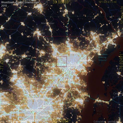
Analysis of Woodlawn night lights 2016
Square area 10x10 km:
 48.13%
90-99
38.1%80-89
4.93%70-79
4.93%60-69
2.72%50-59
1.19%40-49
0%30-39
0%20-29
0%10-19
0%0-9
0%Square area 50x50 km:
19.06%90-99
14.63%80-89
6.94%70-79
8.36%60-69
7.85%50-59
6.87%40-49
5.36%30-39
5.94%20-29
7.46%10-19
12.76%0-9
4.77%Clear (daylight) street map image can be seen on geolist.org.
Map coordinates:
39° 51' 52.9" North, 77° 25' 52.2" West
39° 19' 22.4" North, 76° 43' 40.9" West
38° 46' 36.6" North, 76° 1' 29.7" West
Some cities around Woodlawn sort by population:
• Ellicott City
8.6 km =5.3 mi,  224°
224°
• Catonsville
5.7 km =3.5 mi,  183°
183°
• Randallstown
7.6 km =4.7 mi,  310°
310°
• Pikesville
5.7 km =3.5 mi,  4°
4°
• Milford Mill
4.6 km =2.9 mi, 307°
• Lochearn
2 km =1.2 mi,  14°
14°
• Ilchester
8.6 km =5.3 mi,  201°
201°
• Arbutus
8 km =5 mi,  162°
162°
4374054 (p: 37,879)
Sources (retrieved 2019-11-25):
» Earth at Night: Flat Maps 2012, 2016