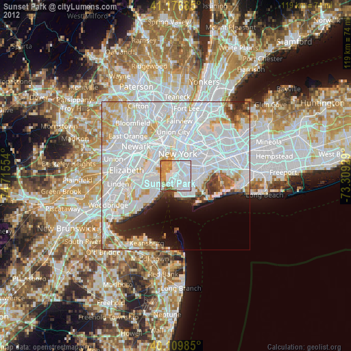
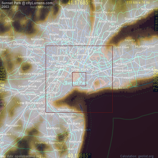
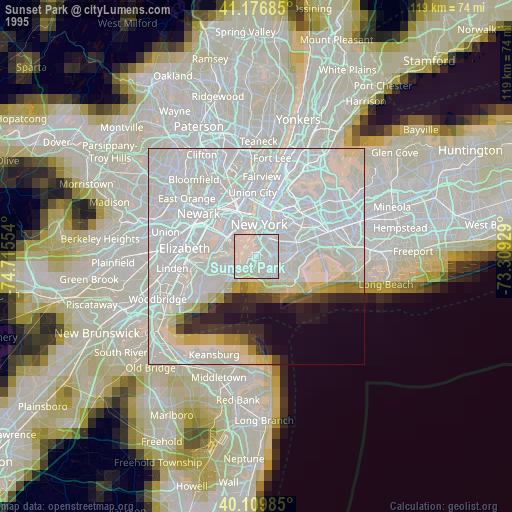
Sunset Park night lights from space
Night Light of Sunset Park (New York) from space (United States) Src. Average luminocity for 10x10km area is 91.7273% and for 50x50km: 70.8147%.

Analysis of Sunset Park night lights 2016
Square area 10x10 km:
 54.71%
90-99
16.88%80-89
6.66%70-79
11.85%60-69
8.77%50-59
1.14%40-49
0%30-39
0%20-29
0%10-19
0%0-9
0%Square area 50x50 km:
41.09%90-99
16.22%80-89
4.92%70-79
4.25%60-69
2.95%50-59
1.81%40-49
2.03%30-39
2.67%20-29
3.86%10-19
4.65%0-9
15.56%Clear (daylight) street map image can be seen on geolist.org.
Map coordinates:
41° 10' 36.7" North, 74° 42' 55.9" West
40° 38' 43.7" North, 74° 0' 44.7" West
40° 6' 35.5" North, 73° 18' 33.4" West
Some cities around Sunset Park sort by population:
• Borough Park
1.8 km =1.1 mi,  134°
134°
• Flatbush
4.6 km =2.9 mi,  80°
80°
• Park Slope
3.5 km =2.2 mi,  39°
39°
• Bensonhurst
5.1 km =3.2 mi,  162°
162°
• Kensington
3.5 km =2.2 mi,  88°
88°
• Dyker Heights
2.7 km =1.7 mi,  174°
174°
• Bath Beach
4.6 km =2.9 mi, 171°
• Fort Hamilton
3.5 km =2.2 mi,  210°
210°
8436486 (p: 126,000)
Sources (retrieved 2019-11-25):
» NASA, Earths city lights 1995
» NASA city lights 2003
» Earth at Night: Flat Maps 2012, 2016