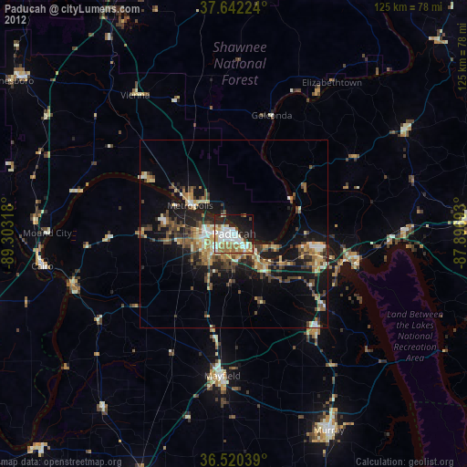
Paducah night lights from space
Night Light of Paducah (Kentucky) from space (United States) Src. Average luminocity for 10x10km area is 57.2789% and for 50x50km: 12.916%.

Analysis of Paducah night lights 2016
Square area 10x10 km:
 13.61%
90-99
16.5%80-89
6.63%70-79
6.46%60-69
6.29%50-59
7.48%40-49
2.55%30-39
2.04%20-29
20.07%10-19
13.44%0-9
4.93%Square area 50x50 km:
1.16%90-99
1.64%80-89
1.59%70-79
1.47%60-69
1.68%50-59
2.43%40-49
2.01%30-39
2.91%20-29
4.38%10-19
10.14%0-9
70.6%Clear (daylight) street map image can be seen on geolist.org.
Map coordinates:
37° 38' 32.1" North, 89° 18' 11.4" West
37° 5' 0.2" North, 88° 36' 0.2" West
36° 31' 13.4" North, 87° 53' 48.9" West
Some cities around Paducah sort by population:
• Murray
58.4 km =36.3 mi,  154°
154°
• Marion
77.7 km =48.3 mi,  337°
337°
• Union City
83.8 km =52.1 mi,  209°
209°
• Mayfield
38.1 km =23.7 mi,  184°
184°
• Harrisburg
73 km =45.4 mi,  4°
4°
• Metropolis
13.9 km =8.6 mi,  302°
302°
• Princeton
63.8 km =39.6 mi,  87°
87°
• Charleston
69.1 km =42.9 mi,  254°
254°
4048662 (p: 24,864)
Sources (retrieved 2019-11-25):
» Earth at Night: Flat Maps 2012, 2016