Metropolis night lights from space
Night Light of Metropolis (Illinois) from space (United States) Src. Average luminocity for 10x10km area is 31.8912% and for 50x50km: 10.3993%.
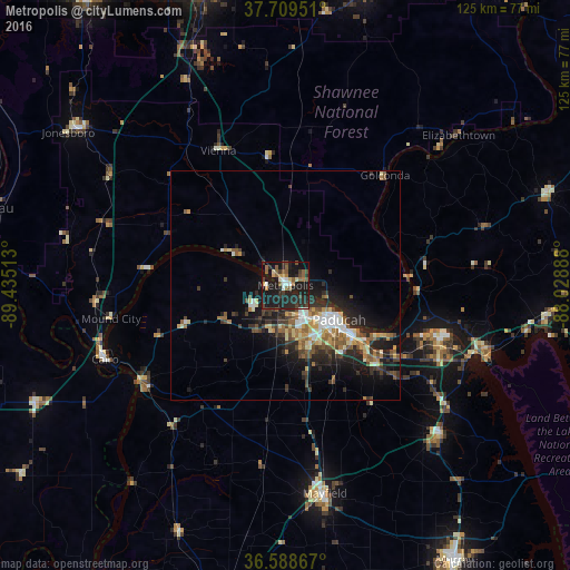
Analysis of Metropolis night lights 2016
Square area 10x10 km:
 2.55%
2.55%90-99
2.72%80-89
3.06%70-79
2.55%60-69
3.91%50-59
8.84%40-49
4.59%30-39
5.61%20-29
18.88%10-19
42.01%0-9
5.27%Square area 50x50 km:
1.02%90-99
1.42%80-89
1.28%70-79
1.23%60-69
1.28%50-59
2.07%40-49
1.6%30-39
1.93%20-29
3.95%10-19
7.24%0-9
76.98%Clear (daylight) street map image can be seen on geolist.org.
Map coordinates:
37° 42' 34.2" North, 89° 26' 6.5" West
37° 9' 4.2" North, 88° 43' 55.2" West
36° 35' 19.2" North, 88° 1' 44" West
Some cities around Metropolis sort by population:
• Cape Girardeau
71.7 km =44.6 mi,  283°
283°
• Paducah
13.9 km =8.6 mi,  122°
122°
• Murray
70.7 km =43.9 mi,  148°
148°
• Marion
66.8 km =41.5 mi,  344°
344°
• Mayfield
46.3 km =28.8 mi,  169°
169°
• Harrisburg
67.4 km =41.9 mi,  14°
14°
• Carterville
74.2 km =46.1 mi, 335°
• Charleston
60.6 km =37.7 mi,  244°
244°
4244462 (p: 6,334)
Sources (retrieved 2019-11-25):
» Earth at Night: Flat Maps 2012, 2016