Oxford night lights from space
Night Light of Oxford (Mississippi) from space (United States) Src. Average luminocity for 10x10km area is 58.2308% and for 50x50km: 4.8675%.
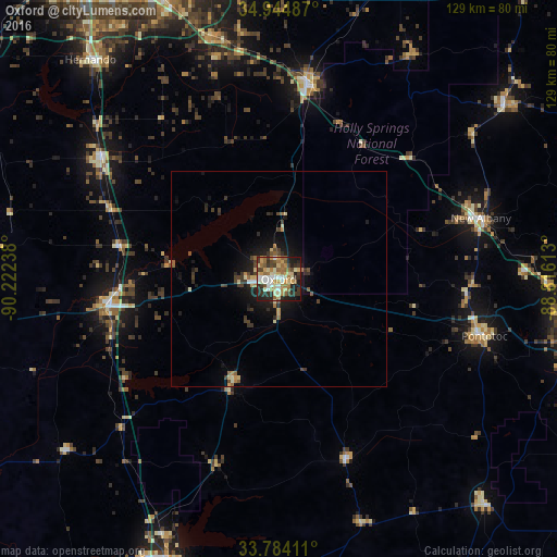
Analysis of Oxford night lights 2016
Square area 10x10 km:
 7.33%
7.33%90-99
11.9%80-89
11.36%70-79
9.71%60-69
11.17%50-59
6.23%40-49
6.41%30-39
12.45%20-29
15.57%10-19
7.88%0-9
0%Square area 50x50 km:
0.34%90-99
0.63%80-89
0.75%70-79
0.59%60-69
0.69%50-59
0.62%40-49
0.86%30-39
1.24%20-29
1.29%10-19
3.55%0-9
89.44%Clear (daylight) street map image can be seen on geolist.org.
Map coordinates:
34° 56' 41.5" North, 90° 13' 20.6" West
34° 21' 59.4" North, 89° 31' 9.3" West
33° 47' 2.8" North, 88° 48' 58.1" West
Some cities around Oxford sort by population:
• Hernando
66.9 km =41.6 mi,  319°
319°
• Grenada
71.6 km =44.5 mi,  201°
201°
• New Albany
49 km =30.4 mi,  73°
73°
• Senatobia
49.8 km =30.9 mi,  304°
304°
• Holly Springs
45.1 km =28 mi,  8°
8°
• Batesville
39.5 km =24.5 mi,  261°
261°
• Pontotoc
49.6 km =30.8 mi,  105°
105°
• Ripley
65.9 km =40.9 mi,  52°
52°
4440076 (p: 22,314)
Sources (retrieved 2019-11-25):
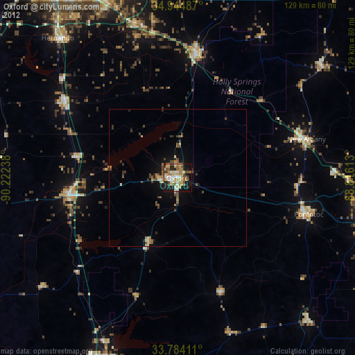
» Earth at Night: Flat Maps 2012, 2016