Ripley night lights from space
Night Light of Ripley (Mississippi) from space (United States) Src. Average luminocity for 10x10km area is 22.7106% and for 50x50km: 3.1916%.
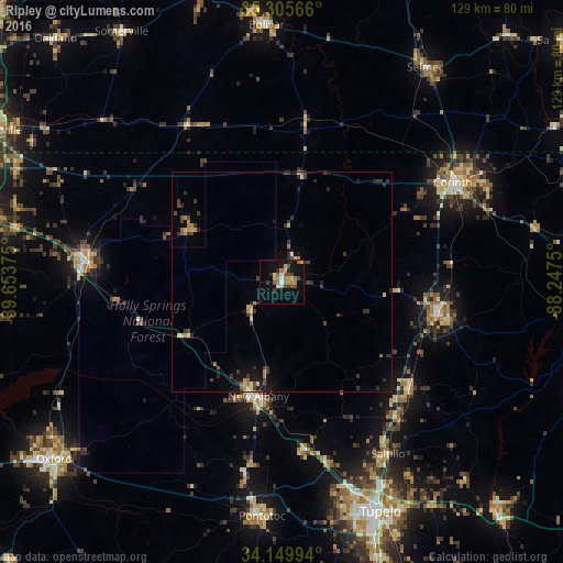
Analysis of Ripley night lights 2016
Square area 10x10 km:
 1.28%
1.28%90-99
2.56%80-89
2.01%70-79
4.21%60-69
5.31%50-59
3.48%40-49
4.03%30-39
3.66%20-29
1.47%10-19
21.06%0-9
50.92%Square area 50x50 km:
0.05%90-99
0.29%80-89
0.36%70-79
0.42%60-69
0.57%50-59
0.34%40-49
0.57%30-39
1.1%20-29
0.74%10-19
2.15%0-9
93.4%Clear (daylight) street map image can be seen on geolist.org.
Map coordinates:
35° 18' 20.4" North, 89° 39' 13.5" West
34° 43' 47.4" North, 88° 57' 2.2" West
34° 8' 59.8" North, 88° 14' 51" West
Some cities around Ripley sort by population:
• Tupelo
57.1 km =35.5 mi,  156°
156°
• Corinth
45.2 km =28.1 mi,  59°
59°
• New Albany
26.7 km =16.6 mi,  191°
191°
• Booneville
36 km =22.4 mi,  102°
102°
• Holly Springs
45.7 km =28.4 mi,  275°
275°
• Pontotoc
53.8 km =33.4 mi,  184°
184°
• Bolivar
58.6 km =36.4 mi,  356°
356°
• Saltillo
46.4 km =28.8 mi,  147°
147°
4443338 (p: 5,357)
Sources (retrieved 2019-11-25):
» Earth at Night: Flat Maps 2012, 2016