Reisterstown night lights from space
Night Light of Reisterstown (Maryland) from space (United States) Src. Average luminocity for 10x10km area is 46.4422% and for 50x50km: 35.1548%.
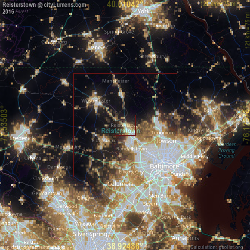
Analysis of Reisterstown night lights 2016
Square area 10x10 km:
 6.63%
6.63%90-99
6.97%80-89
10.71%70-79
4.42%60-69
5.61%50-59
6.12%40-49
7.65%30-39
5.95%20-29
18.03%10-19
26.53%0-9
1.36%Square area 50x50 km:
10.99%90-99
6.05%80-89
3.13%70-79
3.8%60-69
4.37%50-59
4.15%40-49
3.69%30-39
4.84%20-29
6.3%10-19
12.47%0-9
40.2%Clear (daylight) street map image can be seen on geolist.org.
Map coordinates:
40° 0' 37.5" North, 77° 32' 6.1" West
39° 28' 11.1" North, 76° 49' 54.8" West
38° 55' 29.5" North, 76° 7' 43.6" West
Some cities around Reisterstown sort by population:
• Randallstown
11.8 km =7.3 mi,  164°
164°
• Pikesville
14.2 km =8.8 mi,  138°
138°
• Owings Mills
7.1 km =4.4 mi, 141°
• Eldersburg
12.5 km =7.8 mi,  234°
234°
• Milford Mill
14.6 km =9.1 mi, 158°
• Cockeysville
16.2 km =10.1 mi,  85°
85°
• Garrison
9.4 km =5.8 mi, 139°
• Hampstead
15.1 km =9.4 mi,  354°
354°
4366647 (p: 25,968)
Sources (retrieved 2019-11-25):
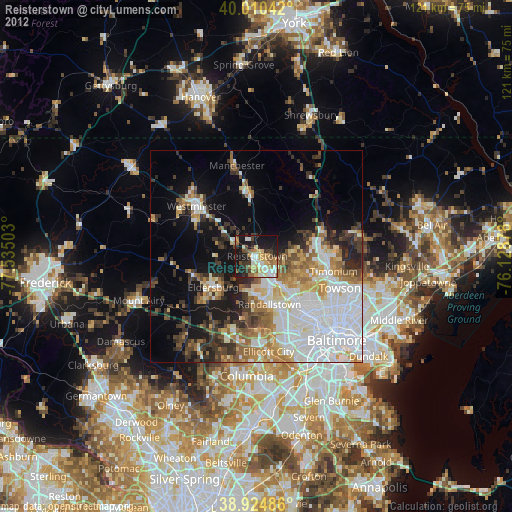
» Earth at Night: Flat Maps 2012, 2016