Owensboro night lights from space
Night Light of Owensboro (Kentucky) from space (United States) Src. Average luminocity for 10x10km area is 71.5136% and for 50x50km: 8.4051%.
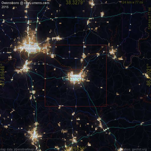
Analysis of Owensboro night lights 2016
Square area 10x10 km:
 23.98%
90-99
23.81%80-89
7.65%70-79
5.95%60-69
3.74%50-59
4.25%40-49
6.12%30-39
5.61%20-29
13.95%10-19
4.93%0-9
0%Square area 50x50 km:
1.21%90-99
1.32%80-89
1.03%70-79
0.89%60-69
0.88%50-59
1.16%40-49
1.22%30-39
1.61%20-29
2.39%10-19
5.11%0-9
83.2%Clear (daylight) street map image can be seen on geolist.org.
Map coordinates:
38° 19' 40.4" North, 87° 48' 59.3" West
37° 46' 27.2" North, 87° 6' 48" West
37° 12' 58.9" North, 86° 24' 36.8" West
Some cities around Owensboro sort by population:
• Evansville
44.8 km =27.8 mi,  299°
299°
• Henderson
42.4 km =26.3 mi,  279°
279°
• Oak Grove
57.3 km =35.6 mi,  146°
146°
• Morehead
56.2 km =34.9 mi,  185°
185°
• Tell City
36.2 km =22.5 mi,  56°
56°
• Knottsville
18.4 km =11.4 mi,  90°
90°
• Boonville
33.7 km =20.9 mi,  335°
335°
• Central City
53.4 km =33.2 mi,  180°
180°
4303436 (p: 59,042)
Sources (retrieved 2019-11-25):
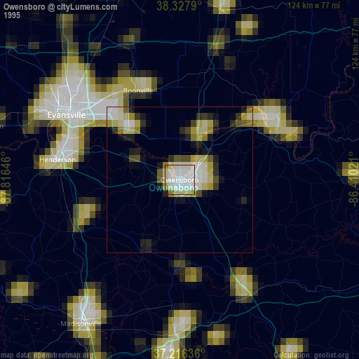
» NASA, Earths city lights 1995
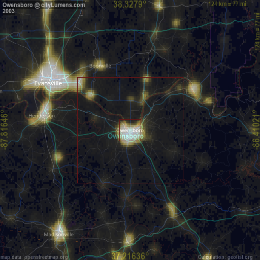
» NASA city lights 2003
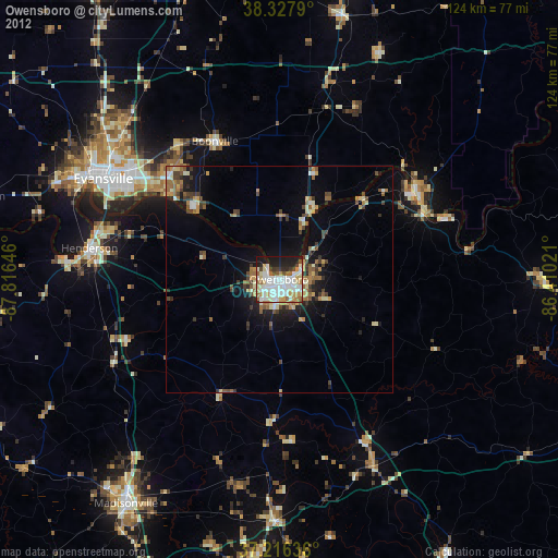
» Earth at Night: Flat Maps 2012, 2016