Henderson night lights from space
Night Light of Henderson (Kentucky) from space (United States) Src. Average luminocity for 10x10km area is 47.1871% and for 50x50km: 15.7268%.
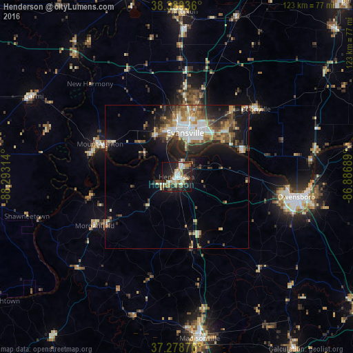
Analysis of Henderson night lights 2016
Square area 10x10 km:
 8.33%
8.33%90-99
10.54%80-89
5.61%70-79
7.14%60-69
1.53%50-59
10.2%40-49
4.25%30-39
6.8%20-29
16.67%10-19
24.66%0-9
4.25%Square area 50x50 km:
2.52%90-99
2.62%80-89
1.52%70-79
1.94%60-69
1.88%50-59
2.72%40-49
2.31%30-39
2.69%20-29
4.43%10-19
9.03%0-9
68.35%Clear (daylight) street map image can be seen on geolist.org.
Map coordinates:
38° 23' 21.7" North, 88° 17' 35.3" West
37° 50' 10.1" North, 87° 35' 24" West
37° 16' 43.5" North, 86° 53' 12.8" West
Some cities around Henderson sort by population:
• Evansville
15.7 km =9.8 mi,  11°
11°
• Owensboro
42.4 km =26.3 mi,  99°
99°
• Madisonville
57.1 km =35.5 mi,  171°
171°
• Princeton
57.8 km =35.9 mi,  1°
1°
• Mount Vernon
28.8 km =17.9 mi,  291°
291°
• Knottsville
60.7 km =37.7 mi, 96°
• Boonville
36.4 km =22.6 mi,  49°
49°
• Carmi
57.3 km =35.6 mi,  299°
299°
4294494 (p: 28,890)
Sources (retrieved 2019-11-25):
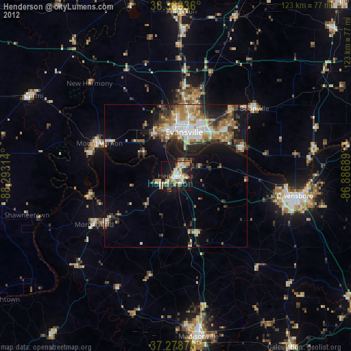
» Earth at Night: Flat Maps 2012, 2016