Grinnell night lights from space
Night Light of Grinnell (Iowa) from space (United States) Src. Average luminocity for 10x10km area is 16.1948% and for 50x50km: 1.6872%.
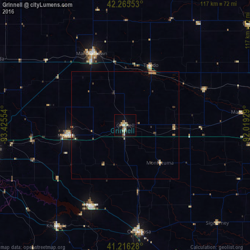
Analysis of Grinnell night lights 2016
Square area 10x10 km:
 1.62%
1.62%90-99
1.62%80-89
3.9%70-79
2.27%60-69
1.62%50-59
2.6%40-49
1.95%30-39
1.95%20-29
0%10-19
6.82%0-9
75.65%Square area 50x50 km:
0.1%90-99
0.11%80-89
0.29%70-79
0.26%60-69
0.37%50-59
0.24%40-49
0.16%30-39
0.35%20-29
0.19%10-19
0.57%0-9
97.37%Clear (daylight) street map image can be seen on geolist.org.
Map coordinates:
42° 15' 55.9" North, 93° 25' 31.9" West
41° 44' 35" North, 92° 43' 20.7" West
41° 12' 58.6" North, 92° 1' 9.4" West
Some cities around Grinnell sort by population:
• Marshalltown
37.4 km =23.2 mi,  335°
335°
• Altoona
62.6 km =38.9 mi,  259°
259°
• Newton
27.4 km =17 mi, 259°
• Oskaloosa
50.1 km =31.1 mi,  172°
172°
• Pella
40.6 km =25.2 mi,  203°
203°
• Pleasant Hill
68.6 km =42.6 mi, 255°
• Knoxville
56.9 km =35.4 mi,  214°
214°
• Nevada
68 km =42.3 mi,  297°
297°
4859343 (p: 9,141)
Sources (retrieved 2019-11-25):
» Earth at Night: Flat Maps 2012, 2016