Oshkosh night lights from space
Night Light of Oshkosh (Wisconsin) from space (United States) Src. Average luminocity for 10x10km area is 56.4794% and for 50x50km: 11.0867%.
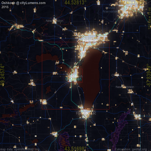
Analysis of Oshkosh night lights 2016
Square area 10x10 km:
 12.7%
12.7%90-99
16.35%80-89
10.79%70-79
5.4%60-69
3.81%50-59
2.7%40-49
8.41%30-39
4.29%20-29
11.75%10-19
15.4%0-9
8.41%Square area 50x50 km:
1.45%90-99
1.92%80-89
1.71%70-79
1.49%60-69
1.36%50-59
1.27%40-49
1.26%30-39
1.58%20-29
3.47%10-19
6.98%0-9
77.5%Clear (daylight) street map image can be seen on geolist.org.
Map coordinates:
44° 31' 41.3" North, 89° 14' 44.7" West
44° 1' 29" North, 88° 32' 33.4" West
43° 31' 1.1" North, 87° 50' 22.2" West
Some cities around Oshkosh sort by population:
• Appleton
28.3 km =17.6 mi,  21°
21°
• Fond du Lac
29 km =18 mi,  163°
163°
• Neenah
19 km =11.8 mi, 19°
• Menasha
21.2 km =13.2 mi, 21°
• Ripon
31 km =19.3 mi,  229°
229°
• Harrison
28 km =17.4 mi,  36°
36°
• Kimberly
32 km =19.9 mi,  30°
30°
• North Fond du Lac
24.2 km =15 mi,  168°
168°
5265838 (p: 66,555)
Sources (retrieved 2019-11-25):
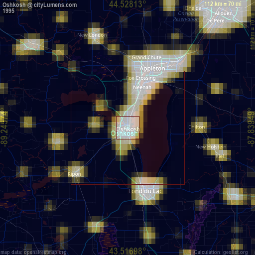
» NASA, Earths city lights 1995
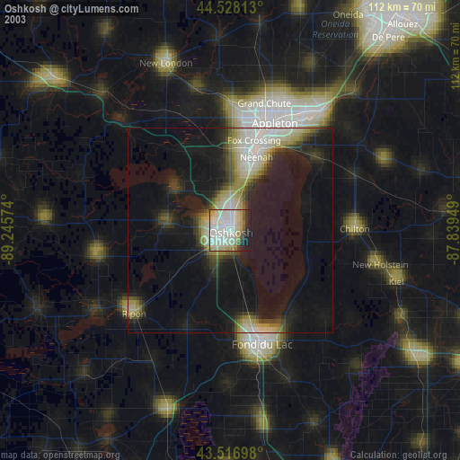
» NASA city lights 2003
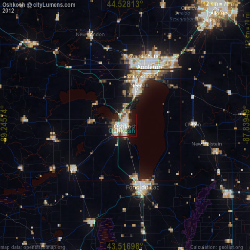
» Earth at Night: Flat Maps 2012, 2016