Harrison night lights from space
Night Light of Harrison (Wisconsin) from space (United States) Src. Average luminocity for 10x10km area is 50.5848% and for 50x50km: 18.0922%.
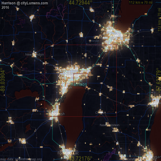
Analysis of Harrison night lights 2016
Square area 10x10 km:
 10.61%
90-99
8.48%80-89
7.73%70-79
8.33%60-69
5.76%50-59
8.18%40-49
5.3%30-39
4.85%20-29
14.7%10-19
19.55%0-9
6.52%Square area 50x50 km:
3.07%90-99
3.49%80-89
2.41%70-79
2.27%60-69
2.45%50-59
2.44%40-49
1.9%30-39
2.15%20-29
4.97%10-19
8.94%0-9
65.9%Clear (daylight) street map image can be seen on geolist.org.
Map coordinates:
44° 43' 46" North, 89° 2' 20.5" West
44° 13' 39.9" North, 88° 20' 9.3" West
43° 43' 18.3" North, 87° 37' 58" West
Some cities around Harrison sort by population:
• Appleton
7.4 km =4.6 mi,  300°
300°
• Oshkosh
28 km =17.4 mi,  216°
216°
• Neenah
11.1 km =6.9 mi,  245°
245°
• De Pere
32.9 km =20.4 mi,  41°
41°
• Menasha
9.3 km =5.8 mi, 252°
• Kaukauna
7.6 km =4.7 mi, 42°
• Little Chute
6 km =3.7 mi,  13°
13°
• Kimberly
4.9 km =3 mi,  357°
357°
9682914 (p: 7,302)
Sources (retrieved 2019-11-25):
» Earth at Night: Flat Maps 2012, 2016