Appleton night lights from space
Night Light of Appleton (Wisconsin) from space (United States) Src. Average luminocity for 10x10km area is 89.7697% and for 50x50km: 16.5993%.
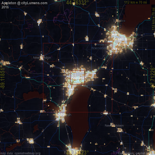
Analysis of Appleton night lights 2016
Square area 10x10 km:
 35.3%
35.3%90-99
32.12%80-89
9.39%70-79
8.79%60-69
8.33%50-59
5.15%40-49
0.91%30-39
0%20-29
0%10-19
0%0-9
0%Square area 50x50 km:
2.65%90-99
3.08%80-89
2.25%70-79
2.04%60-69
2.24%50-59
2.28%40-49
1.73%30-39
2.11%20-29
4.78%10-19
8.39%0-9
68.44%Clear (daylight) street map image can be seen on geolist.org.
Map coordinates:
44° 45' 48" North, 89° 7' 6.6" West
44° 15' 42.9" North, 88° 24' 55.4" West
43° 45' 22.4" North, 87° 42' 44.1" West
Some cities around Appleton sort by population:
• Oshkosh
28.3 km =17.6 mi,  201°
201°
• Neenah
9.3 km =5.8 mi, 203°
• Menasha
7.1 km =4.4 mi, 200°
• Kaukauna
11.6 km =7.2 mi,  81°
81°
• Little Chute
8 km =5 mi, 75°
• Harrison
7.4 km =4.6 mi,  120°
120°
• New London
29.6 km =18.4 mi,  299°
299°
• Kimberly
6.2 km =3.9 mi, 79°
5244080 (p: 74,139)
Sources (retrieved 2019-11-25):
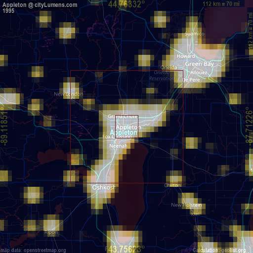
» NASA, Earths city lights 1995
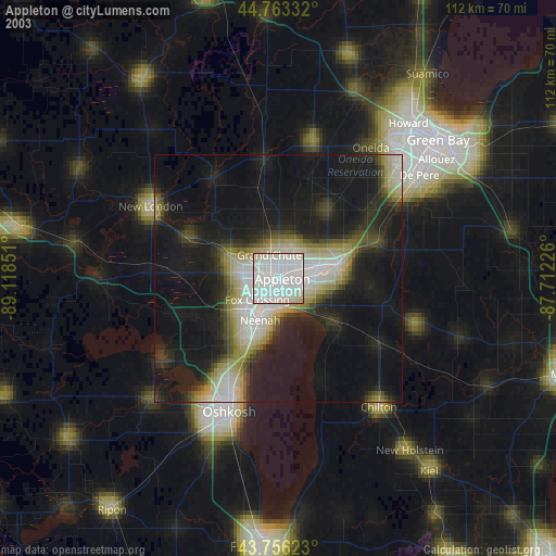
» NASA city lights 2003
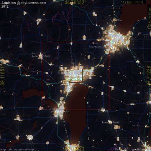
» Earth at Night: Flat Maps 2012, 2016