Fond du Lac night lights from space
Night Light of Fond du Lac (Wisconsin) from space (United States) Src. Average luminocity for 10x10km area is 56.55% and for 50x50km: 5.5368%.
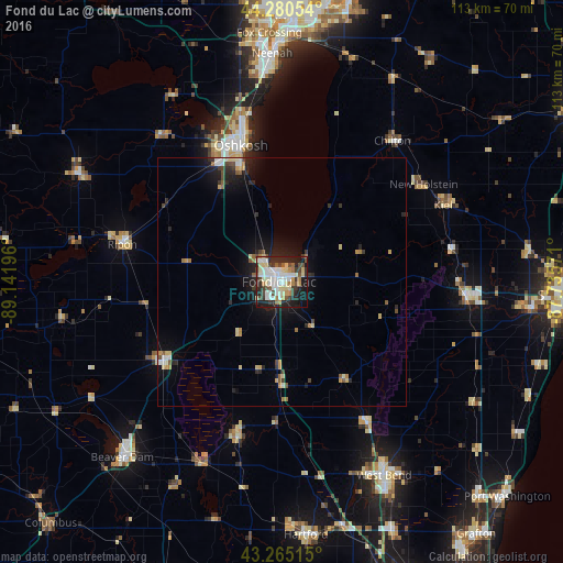
Analysis of Fond du Lac night lights 2016
Square area 10x10 km:
 13.33%
90-99
14.24%80-89
10.3%70-79
3.33%60-69
5.76%50-59
4.09%40-49
6.97%30-39
7.42%20-29
17.58%10-19
15.61%0-9
1.36%Square area 50x50 km:
0.75%90-99
0.85%80-89
0.92%70-79
0.44%60-69
0.59%50-59
0.61%40-49
0.69%30-39
0.7%20-29
1.83%10-19
3.64%0-9
88.99%Clear (daylight) street map image can be seen on geolist.org.
Map coordinates:
44° 16' 49.9" North, 89° 8' 31.1" West
43° 46' 30" North, 88° 26' 19.8" West
43° 15' 54.5" North, 87° 44' 8.6" West
Some cities around Fond du Lac sort by population:
• Oshkosh
29 km =18 mi,  343°
343°
• West Bend
44 km =27.3 mi,  152°
152°
• Neenah
45.7 km =28.4 mi,  357°
357°
• Waupun
28.2 km =17.5 mi,  236°
236°
• Plymouth
37.2 km =23.1 mi,  94°
94°
• Ripon
32.7 km =20.3 mi,  283°
283°
• Berlin
45.8 km =28.5 mi,  297°
297°
• North Fond du Lac
5.4 km =3.4 mi,  318°
318°
5253352 (p: 42,933)
Sources (retrieved 2019-11-25):
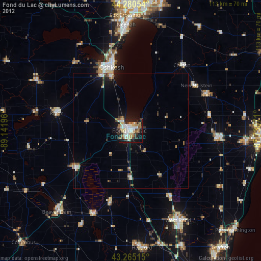
» Earth at Night: Flat Maps 2012, 2016