Durham night lights from space
Night Light of Durham (California) from space (United States) Src. Average luminocity for 10x10km area is 3.8003% and for 50x50km: 5.107%.
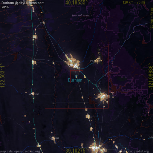
Analysis of Durham night lights 2016
Square area 10x10 km:
 0%
0%90-99
0%80-89
0%70-79
0.49%60-69
0.16%50-59
0%40-49
0%30-39
0.65%20-29
0.65%10-19
11.04%0-9
87.01%Square area 50x50 km:
0.34%90-99
0.48%80-89
0.28%70-79
1.16%60-69
0.94%50-59
0.97%40-49
0.81%30-39
1.09%20-29
1.09%10-19
3.95%0-9
88.89%Clear (daylight) street map image can be seen on geolist.org.
Map coordinates:
40° 11' 8" North, 122° 30' 11.2" West
39° 38' 46.6" North, 121° 47' 59.9" West
39° 6' 9.9" North, 121° 5' 48.7" West
Some cities around Durham sort by population:
• Chico
9.7 km =6 mi,  340°
340°
• Paradise
19.8 km =12.3 mi,  50°
50°
• Oroville
25.4 km =15.8 mi,  125°
125°
• Magalia
26.4 km =16.4 mi, 45°
• Oroville East
31.6 km =19.6 mi,  118°
118°
• Thermalito
23.6 km =14.7 mi, 129°
• South Oroville
27 km =16.8 mi, 128°
• Palermo
32.5 km =20.2 mi,  136°
136°
5344359 (p: 5,518)
Sources (retrieved 2019-11-25):
» Earth at Night: Flat Maps 2012, 2016