Helena night lights from space
Night Light of Helena (Montana) from space (United States) Src. Average luminocity for 10x10km area is 40.2472% and for 50x50km: 2.5132%.
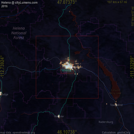
Analysis of Helena night lights 2016
Square area 10x10 km:
 8.66%
8.66%90-99
10.37%80-89
3.13%70-79
4.83%60-69
4.83%50-59
2.41%40-49
3.41%30-39
1.99%20-29
12.78%10-19
33.24%0-9
14.35%Square area 50x50 km:
0.36%90-99
0.46%80-89
0.15%70-79
0.3%60-69
0.33%50-59
0.25%40-49
0.33%30-39
0.23%20-29
0.77%10-19
2.54%0-9
94.27%Clear (daylight) street map image can be seen on geolist.org.
Map coordinates:
47° 4' 25.4" North, 112° 44' 21.3" West
46° 35' 33.8" North, 112° 2' 10" West
46° 6' 26.6" North, 111° 19' 58.8" West
Some cities around Helena sort by population:
• Missoula
152.4 km =94.7 mi,  281°
281°
• Great Falls
115.3 km =71.6 mi,  28°
28°
• Bozeman
127.3 km =79.1 mi,  142°
142°
• Butte
75.9 km =47.2 mi,  210°
210°
• Butte-Silver Bow (Balance)
90.4 km =56.2 mi, 211°
• Anaconda
86.6 km =53.8 mi,  233°
233°
• Belgrade
112.3 km =69.8 mi, 143°
• Livingston
153.7 km =95.5 mi,  132°
132°
5656882 (p: 30,581)
Sources (retrieved 2019-11-25):
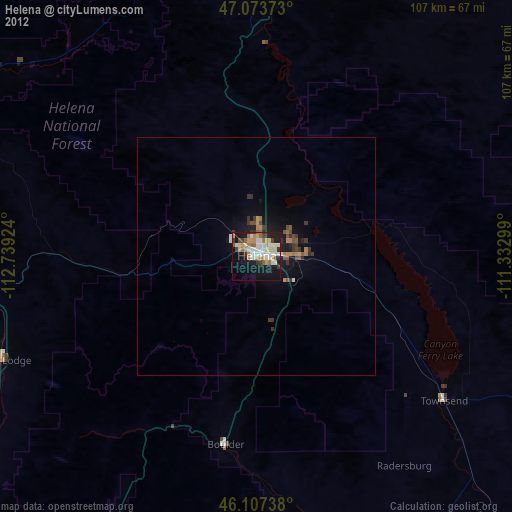
» Earth at Night: Flat Maps 2012, 2016