Butte night lights from space
Night Light of Butte (Montana) from space (United States) Src. Average luminocity for 10x10km area is 34.8125% and for 50x50km: 2.0721%.
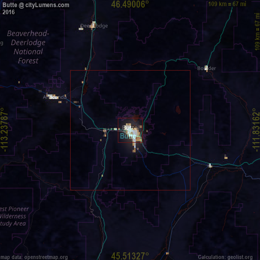
Analysis of Butte night lights 2016
Square area 10x10 km:
 7.24%
7.24%90-99
8.81%80-89
2.56%70-79
2.98%60-69
3.84%50-59
5.26%40-49
1.85%30-39
2.7%20-29
7.24%10-19
32.53%0-9
25%Square area 50x50 km:
0.33%90-99
0.4%80-89
0.17%70-79
0.17%60-69
0.21%50-59
0.31%40-49
0.21%30-39
0.21%20-29
0.42%10-19
2.12%0-9
95.44%Clear (daylight) street map image can be seen on geolist.org.
Map coordinates:
46° 29' 24.2" North, 113° 14' 16.3" West
46° 0' 13.8" North, 112° 32' 5.1" West
45° 30' 47.8" North, 111° 49' 53.8" West
Some cities around Butte sort by population:
• Missoula
147.7 km =91.8 mi,  310°
310°
• Bozeman
121.4 km =75.4 mi,  107°
107°
• Helena
75.9 km =47.2 mi,  30°
30°
• Anaconda
34.4 km =21.4 mi,  293°
293°
• Helena Valley Southeast
82.7 km =51.4 mi, 34°
• Belgrade
108.1 km =67.2 mi,  103°
103°
• Helena Valley West Central
81.8 km =50.8 mi, 26°
• Orchard Homes
150.3 km =93.4 mi, 309°
5642934 (p: 34,190)
Sources (retrieved 2019-11-25):
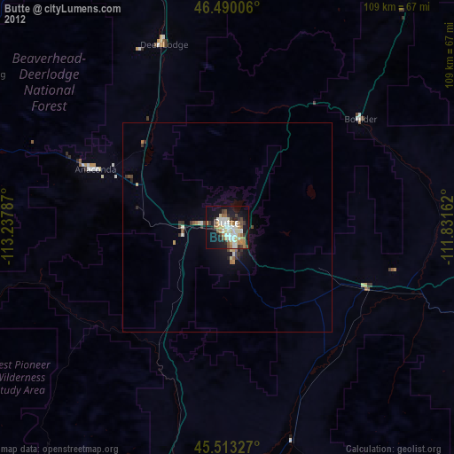
» Earth at Night: Flat Maps 2012, 2016