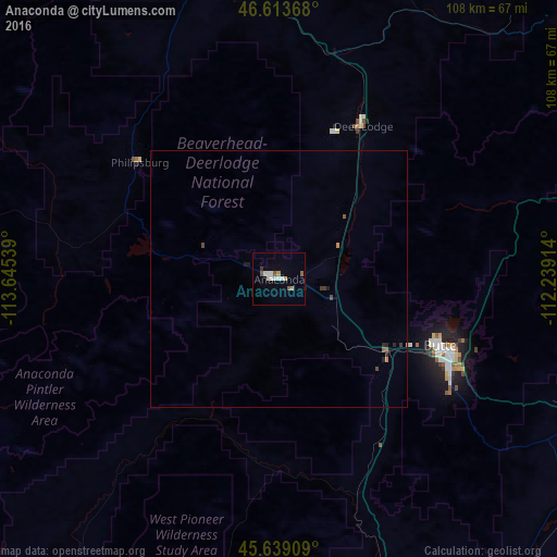
Anaconda night lights from space
Night Light of Anaconda (Montana) from space (United States) Src. Average luminocity for 10x10km area is 9.267% and for 50x50km: 0.604%.
Analysis of Anaconda night lights 2016
Square area 10x10 km:
 1.42%
1.42%90-99
2.13%80-89
1.56%70-79
0.57%60-69
0.57%50-59
2.13%40-49
0.14%30-39
0.57%20-29
0%10-19
0.28%0-9
90.63%Square area 50x50 km:
0.06%90-99
0.09%80-89
0.08%70-79
0.05%60-69
0.05%50-59
0.14%40-49
0.09%30-39
0.12%20-29
0.1%10-19
0.09%0-9
99.13%Clear (daylight) street map image can be seen on geolist.org.
Map coordinates:
46° 36' 49.2" North, 113° 38' 43.4" West
46° 7' 42.7" North, 112° 56' 32.1" West
45° 38' 20.7" North, 112° 14' 20.9" West
Some cities around Anaconda sort by population:
• Missoula
115.4 km =71.7 mi,  315°
315°
• Butte
34.4 km =21.4 mi,  113°
113°
• Butte-Silver Bow (Balance)
33.5 km =20.8 mi,  138°
138°
• Helena
86.6 km =53.8 mi,  53°
53°
• Helena Valley Southeast
95.2 km =59.2 mi,  55°
55°
• Belgrade
142 km =88.2 mi, 106°
• Helena Valley West Central
90 km =55.9 mi, 48°
• Orchard Homes
117.7 km =73.1 mi,  313°
313°
5637146 (p: 9,417)
Sources (retrieved 2019-11-25):
» Earth at Night: Flat Maps 2012, 2016