Butte-Silver Bow (Balance) night lights from space
Night Light of Butte-Silver Bow (Balance) (Montana) from space (United States) Src. Average luminocity for 10x10km area is 0.0179% and for 50x50km: 2.1464%.
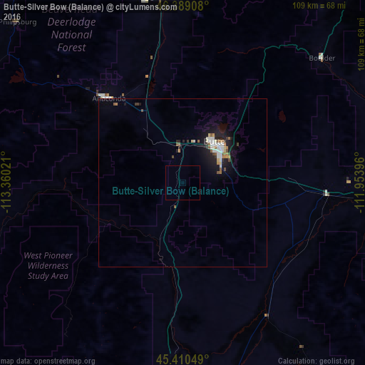
Analysis of Butte-Silver Bow (Balance) night lights 2016
Square area 10x10 km:
 0%
0%90-99
0%80-89
0%70-79
0%60-69
0%50-59
0%40-49
0%30-39
0%20-29
0%10-19
0%0-9
100%Square area 50x50 km:
0.34%90-99
0.4%80-89
0.17%70-79
0.16%60-69
0.23%50-59
0.34%40-49
0.21%30-39
0.22%20-29
0.43%10-19
2.16%0-9
95.35%Clear (daylight) street map image can be seen on geolist.org.
Map coordinates:
46° 23' 20.7" North, 113° 21' 36.8" West
45° 54' 7" North, 112° 39' 25.5" West
45° 24' 37.8" North, 111° 57' 14.3" West
Some cities around Butte-Silver Bow (Balance) sort by population:
• Missoula
148.8 km =92.5 mi,  316°
316°
• Bozeman
127.9 km =79.5 mi,  101°
101°
• Helena
90.4 km =56.2 mi,  31°
31°
• Anaconda
33.5 km =20.8 mi, 318°
• Helena Valley Southeast
97.4 km =60.5 mi,  35°
35°
• Belgrade
115.5 km =71.8 mi, 96°
• Helena Valley West Central
96.2 km =59.8 mi, 28°
• Orchard Homes
151 km =93.8 mi, 315°
7172886 (p: 33,525)
Sources (retrieved 2019-11-25):
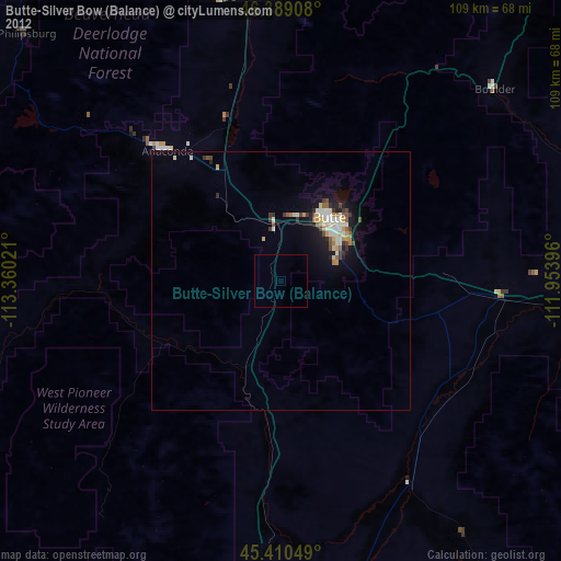
» Earth at Night: Flat Maps 2012, 2016