Orangevale night lights from space
Night Light of Orangevale (California) from space (United States) Src. Average luminocity for 10x10km area is 73.233% and for 50x50km: 39.8971%.
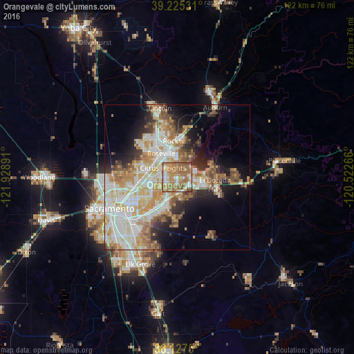
Analysis of Orangevale night lights 2016
Square area 10x10 km:
 8.84%
8.84%90-99
12.76%80-89
7.82%70-79
19.22%60-69
35.54%50-59
13.1%40-49
2.38%30-39
0.34%20-29
0%10-19
0%0-9
0%Square area 50x50 km:
8.9%90-99
9.87%80-89
4.86%70-79
7.14%60-69
5.97%50-59
4.42%40-49
3.42%30-39
3.4%20-29
4.84%10-19
8.41%0-9
38.76%Clear (daylight) street map image can be seen on geolist.org.
Map coordinates:
39° 13' 31.1" North, 121° 55' 44.1" West
38° 40' 42.6" North, 121° 13' 32.8" West
38° 7' 39" North, 120° 31' 21.6" West
Some cities around Orangevale sort by population:
• Roseville
9.8 km =6.1 mi,  326°
326°
• Citrus Heights
5.8 km =3.6 mi,  303°
303°
• Folsom
4.3 km =2.7 mi,  90°
90°
• Antelope
9.6 km =6 mi,  290°
290°
• Foothill Farms
10.9 km =6.8 mi,  270°
270°
• Fair Oaks
5.5 km =3.4 mi,  226°
226°
• Granite Bay
10.8 km =6.7 mi,  29°
29°
• Gold River
6.1 km =3.8 mi,  197°
197°
5379566 (p: 33,960)
Sources (retrieved 2019-11-25):
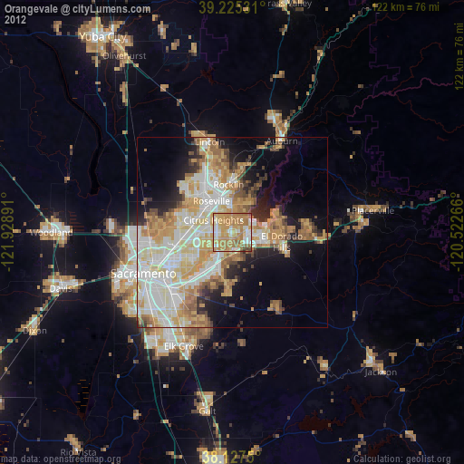
» Earth at Night: Flat Maps 2012, 2016