Granite Bay night lights from space
Night Light of Granite Bay (California) from space (United States) Src. Average luminocity for 10x10km area is 34.5051% and for 50x50km: 31.5694%.
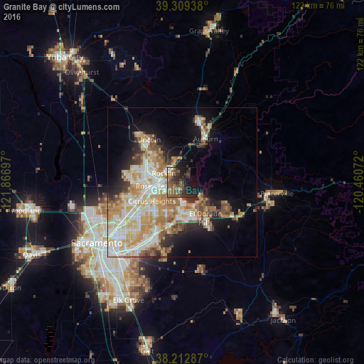
Analysis of Granite Bay night lights 2016
Square area 10x10 km:
 2.04%
2.04%90-99
0.68%80-89
1.53%70-79
4.08%60-69
9.01%50-59
10.88%40-49
10.2%30-39
11.56%20-29
15.31%10-19
19.73%0-9
14.97%Square area 50x50 km:
6.14%90-99
7.06%80-89
3.89%70-79
6.16%60-69
5.01%50-59
3.76%40-49
3.03%30-39
2.99%20-29
4.04%10-19
8.86%0-9
49.05%Clear (daylight) street map image can be seen on geolist.org.
Map coordinates:
39° 18' 33.8" North, 121° 52' 1.1" West
38° 45' 47.6" North, 121° 9' 49.8" West
38° 12' 46.3" North, 120° 27' 38.6" West
Some cities around Granite Bay sort by population:
• Roseville
10.8 km =6.7 mi,  263°
263°
• Citrus Heights
11.9 km =7.4 mi,  238°
238°
• Folsom
9.5 km =5.9 mi,  186°
186°
• Rocklin
6.9 km =4.3 mi,  296°
296°
• Antelope
15.7 km =9.8 mi,  247°
247°
• El Dorado Hills
11.2 km =7 mi,  140°
140°
• Orangevale
10.8 km =6.7 mi,  209°
209°
• Loomis
6.9 km =4.3 mi,  338°
338°
5353530 (p: 20,402)
Sources (retrieved 2019-11-25):
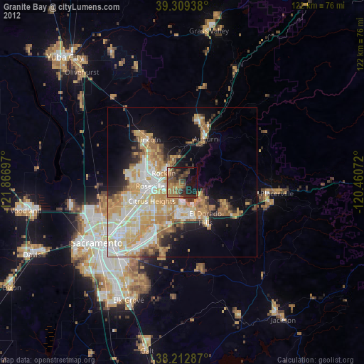
» Earth at Night: Flat Maps 2012, 2016