Antelope night lights from space
Night Light of Antelope (California) from space (United States) Src. Average luminocity for 10x10km area is 86.8078% and for 50x50km: 42.2881%.
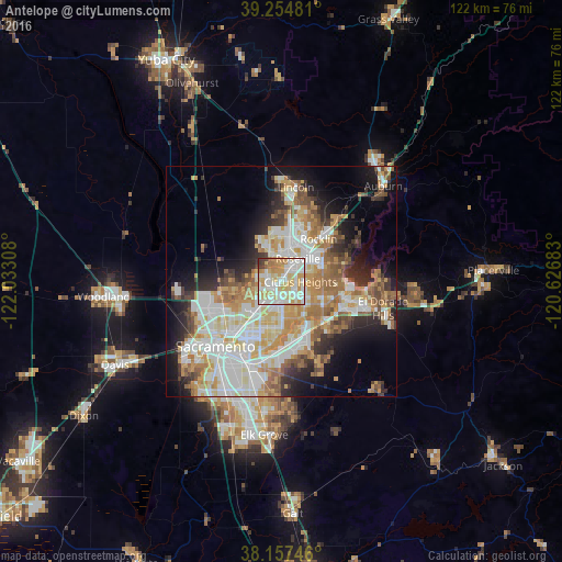
Analysis of Antelope night lights 2016
Square area 10x10 km:
 23.81%
90-99
30.95%80-89
16.67%70-79
18.2%60-69
5.44%50-59
1.19%40-49
1.36%30-39
2.38%20-29
0%10-19
0%0-9
0%Square area 50x50 km:
9.57%90-99
10.61%80-89
4.92%70-79
7.5%60-69
6.05%50-59
4.34%40-49
3.45%30-39
3.98%20-29
5.91%10-19
9.81%0-9
33.86%Clear (daylight) street map image can be seen on geolist.org.
Map coordinates:
39° 15' 17.3" North, 122° 1' 59.1" West
38° 42' 29.7" North, 121° 19' 47.8" West
38° 9' 26.9" North, 120° 37' 36.6" West
Some cities around Antelope sort by population:
• Roseville
6.1 km =3.8 mi,  36°
36°
• Citrus Heights
4.2 km =2.6 mi,  91°
91°
• Carmichael
10.1 km =6.3 mi,  179°
179°
• North Highlands
4.4 km =2.7 mi,  235°
235°
• Orangevale
9.6 km =6 mi,  110°
110°
• Foothill Farms
3.8 km =2.4 mi,  209°
209°
• Fair Oaks
8.7 km =5.4 mi,  144°
144°
• Rio Linda
10.5 km =6.5 mi,  259°
259°
5324105 (p: 45,770)
Sources (retrieved 2019-11-25):
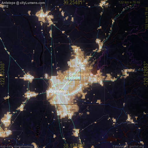
» Earth at Night: Flat Maps 2012, 2016